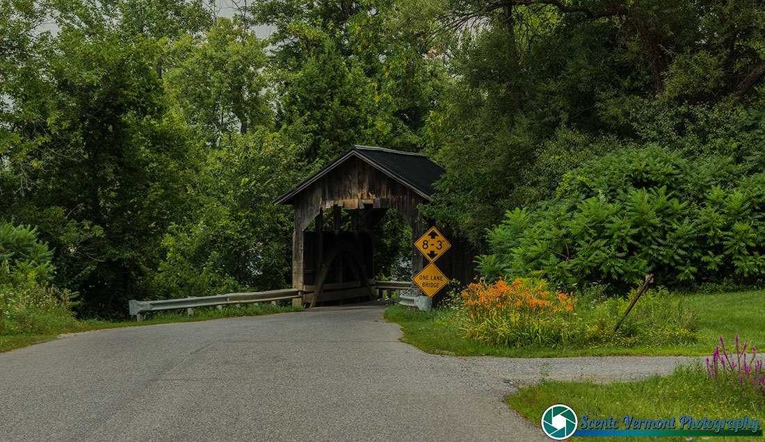
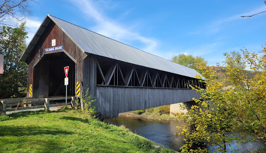
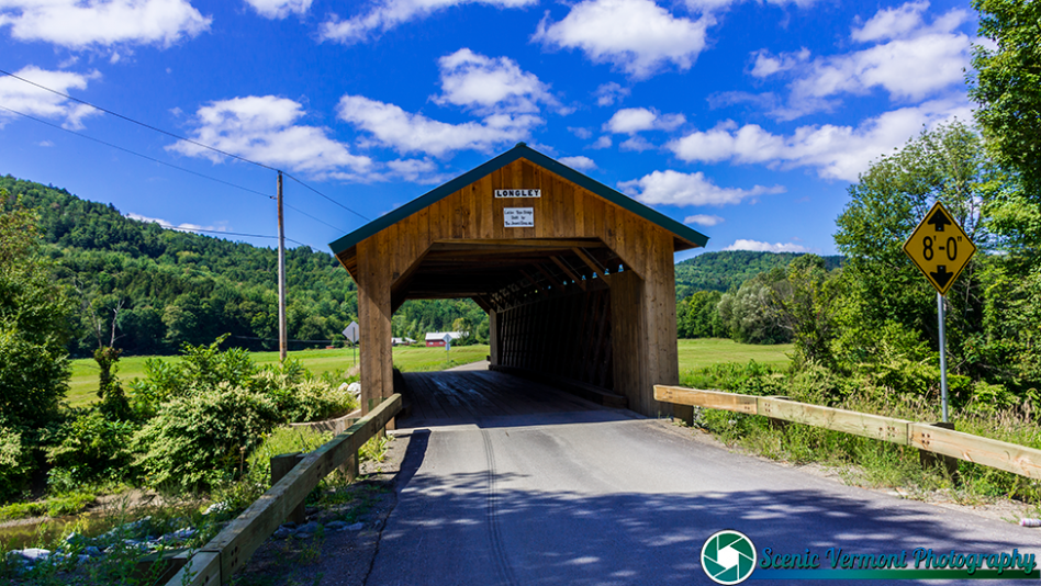
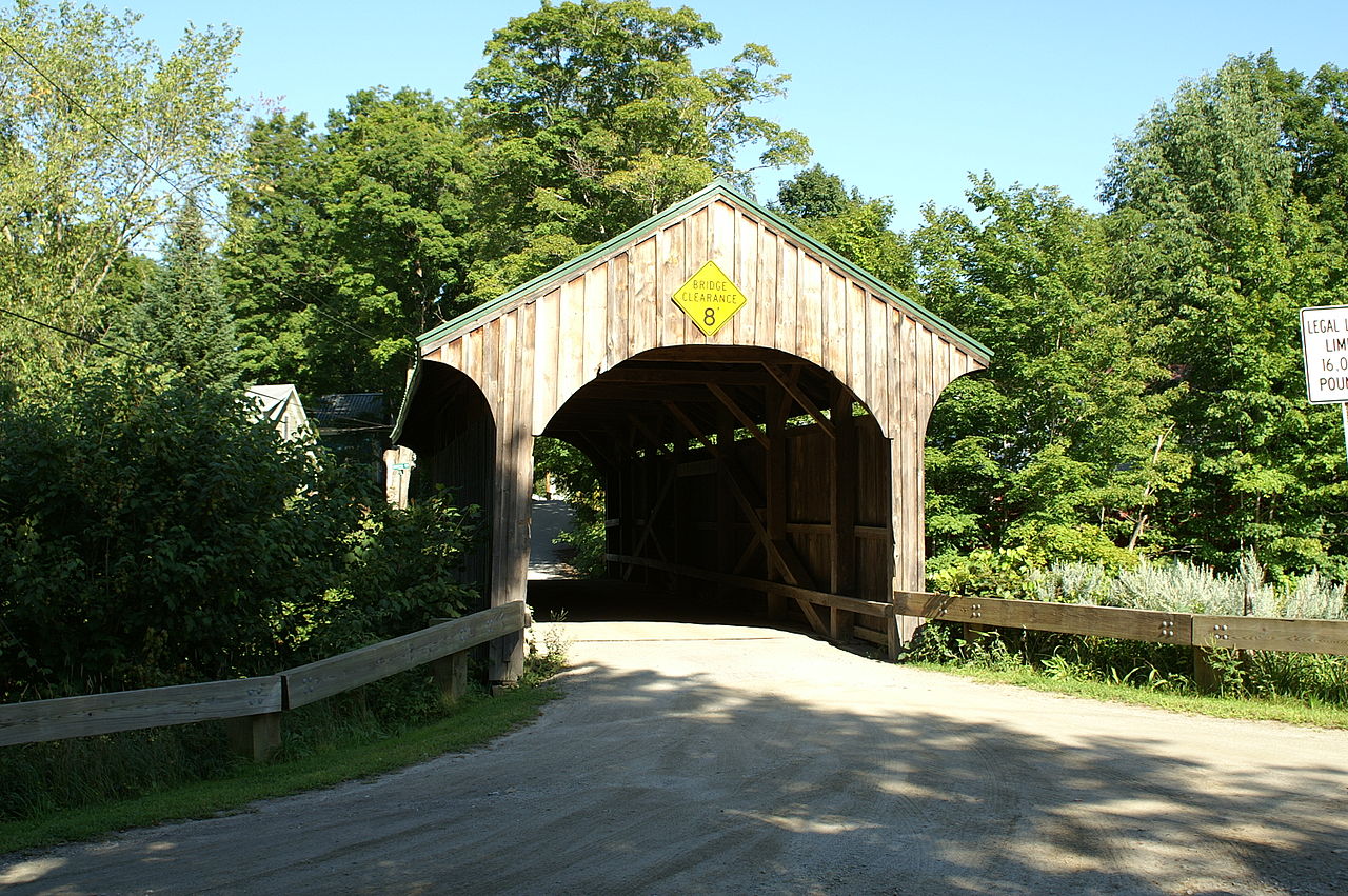
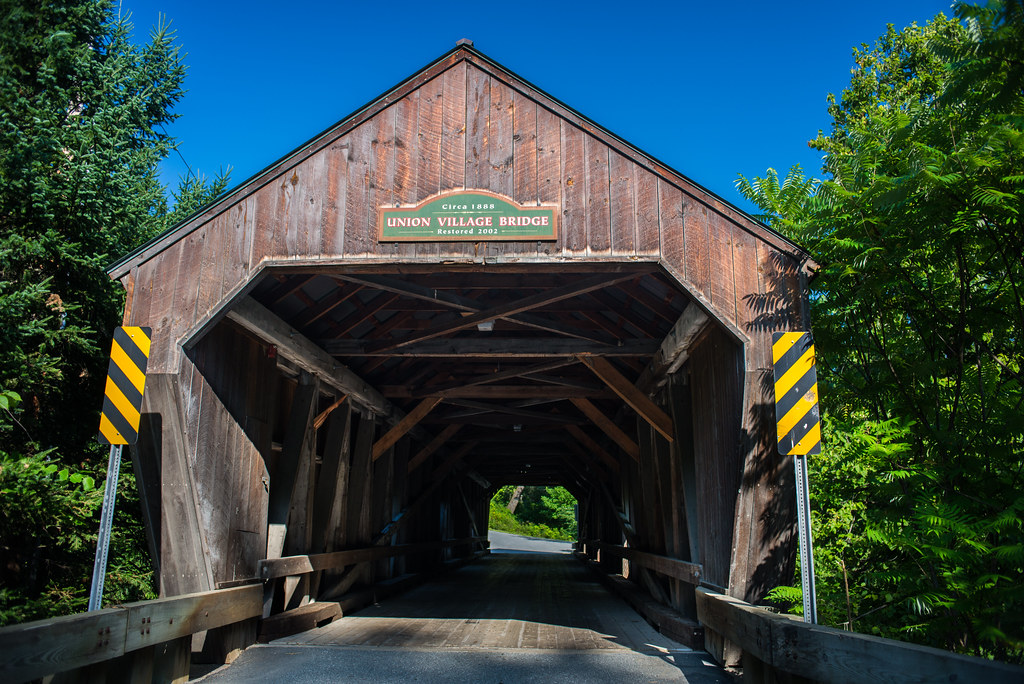
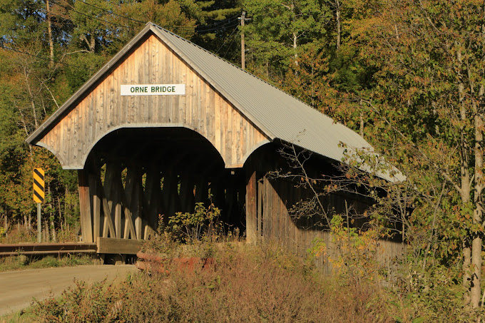
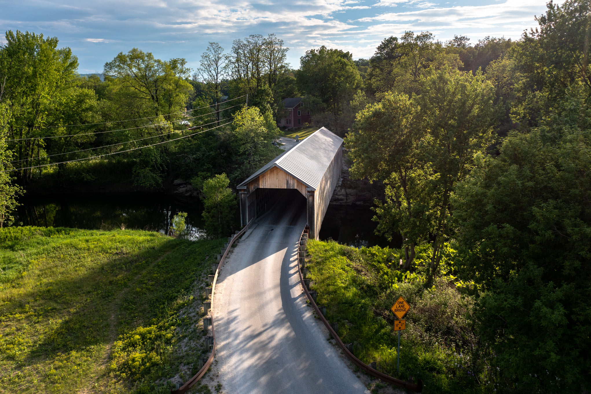
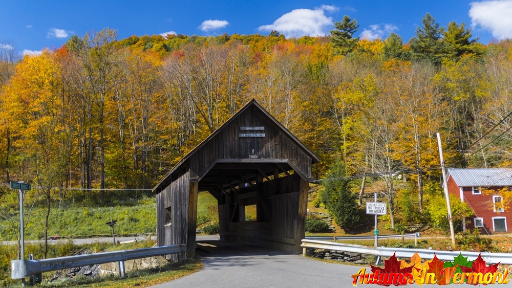
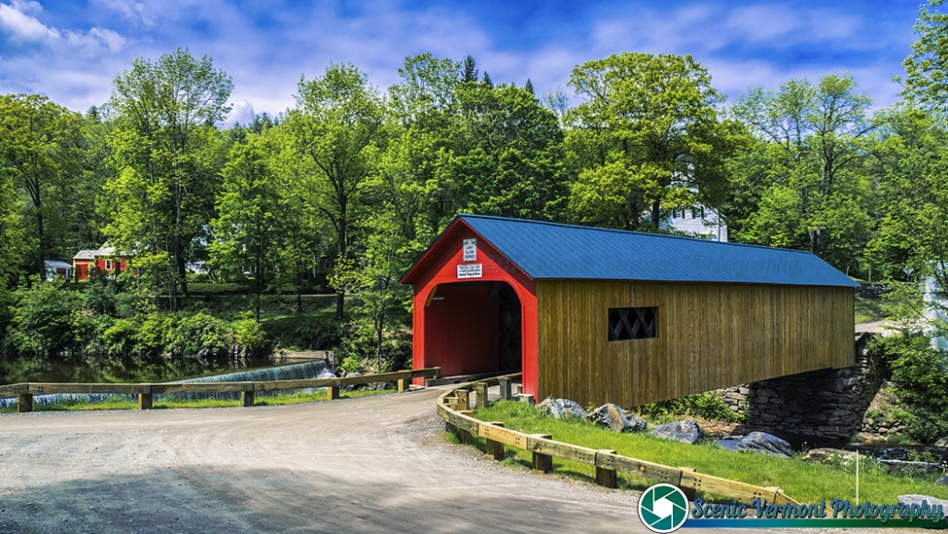
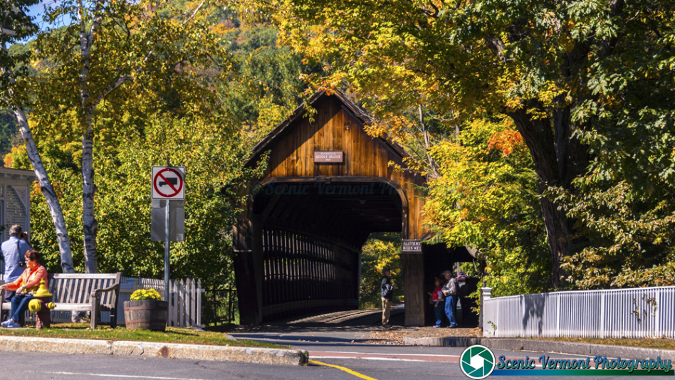
Find your next Vermont bridge stop. Browse 13 county guides with photographs, location notes and ideas for exploring the towns and river valleys along your route.
Start with the county where you are staying or traveling. Open its guide to compare bridge locations, alternate names and access notes, then use the statewide map to connect the stops that fit your day.
The guides include public-road crossings, pedestrian destinations, private-property bridges and historical listings. Check the details for each bridge before planning a visit.
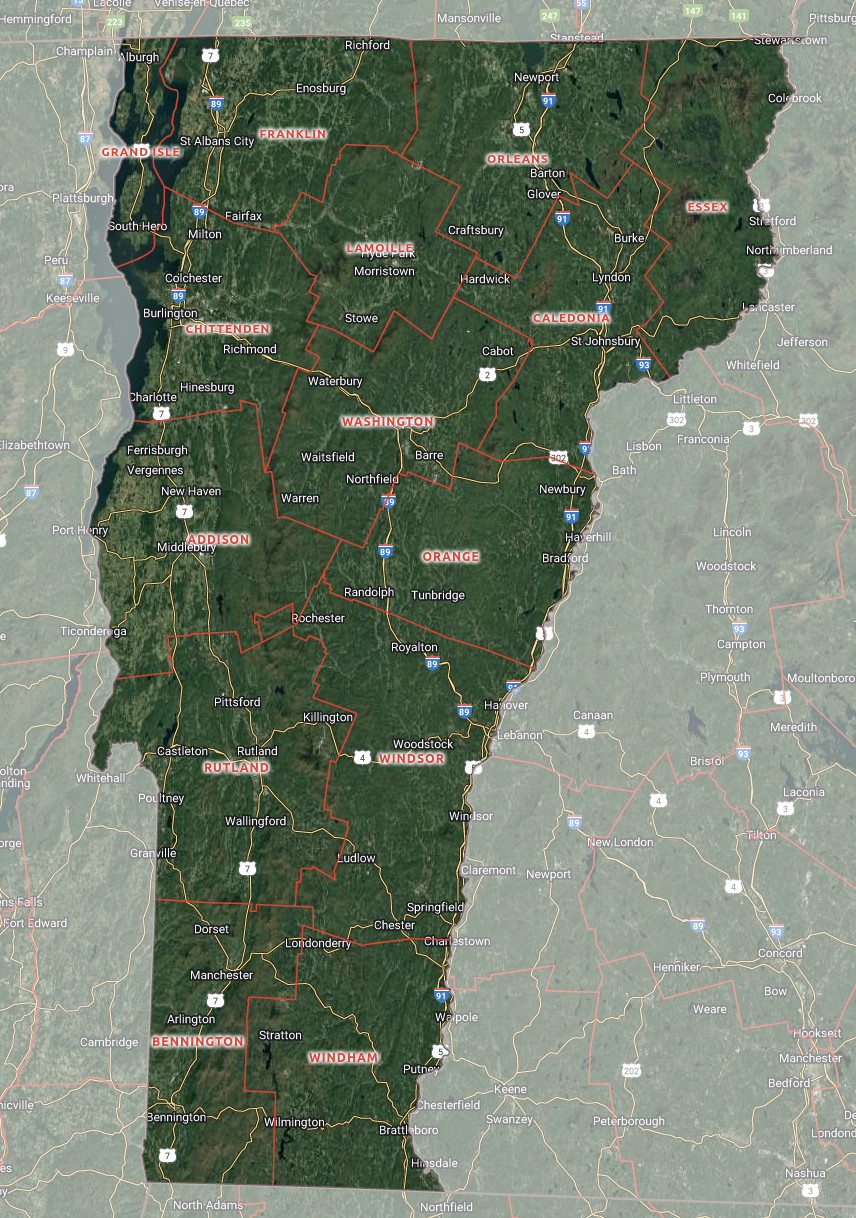
Use this county-boundary map to orient your trip. It shows the counties rather than individual bridge locations.
For bridge locations, open the interactive statewide map. For photographs and road notes, choose a county guide above. This directory links to the 13 guides currently available on this site.
Select a few nearby bridges and leave time for village stops and photographs. Use the county guide to learn what kind of visit each location offers.
Check the details
Confirm current directions, road conditions, parking and permissions. A photograph or map pin does not establish public access or vehicle suitability.
Enjoy the stop. Respect the crossing.
Keep roads, bridge entrances and private driveways clear. Park only where permitted, follow current closure and vehicle-limit signs, and respect nearby homes and farms.
Read historical notes carefully: some guides include rebuilt structures or bridges that no longer stand in their original form.
County directory: common questions
How do I find covered bridges in a particular Vermont county?
Choose a county card above to open its guide. Each guide provides bridge listings, photographs and location notes to help you plan.
Does this directory include all 14 Vermont counties?
It links to the 13 county guides currently available on this site. There is no Grand Isle County guide linked here; that is not a claim about whether covered structures exist there.
Is the county map an interactive bridge map?
No. The county-boundary map is an orientation image. Use the separate statewide bridge-map link to explore bridge locations.
Can I drive through every bridge in the county guides?
No. Some listings are pedestrian destinations, involve private property or describe historical structures. Follow current signs and confirm access before traveling.
Are the county guides complete inventories?
They are selections for exploring Vermont, rather than guaranteed inventories or live road-status reports. Check local sources for current details.
Can I visit bridges in more than one county on a trip?
Yes. Compare locations on the statewide map and use the county guides for details. Choose a realistic number of stops and allow time for detours and parking.
KEEP EXPLORING
Take the scenic route through Vermont
Pair your bridge stops with a scenic byway or another Vermont attraction.