
Vermont's Covered Bridges - Windsor County
WINDSOR COUNTY · VERMONT
Covered Bridges in Windsor County, Vermont
Explore Windsor County’s covered bridges, from Woodstock and Quechee to Hartland, West Windsor, Weathersfield and Springfield, with photos and practical location notes.
SUMMER ROADS. RIVER VIEWS. VERMONT BRIDGE STORIES.
Home / Covered Bridges / Windsor County
FIND YOUR NEXT CROSSING
Explore Windsor County’s covered bridges
Choose a village crossing, a river-valley drive or a preserved historic-site visit. This guide includes 14 listings and original photographs, with the two Mill Street bridges in North Hartland explained as a paired destination.
Some listings are public-road crossings, while others involve private property or historic-site visiting arrangements. Read each access note and confirm current conditions before setting out.
SPRINGFIELD
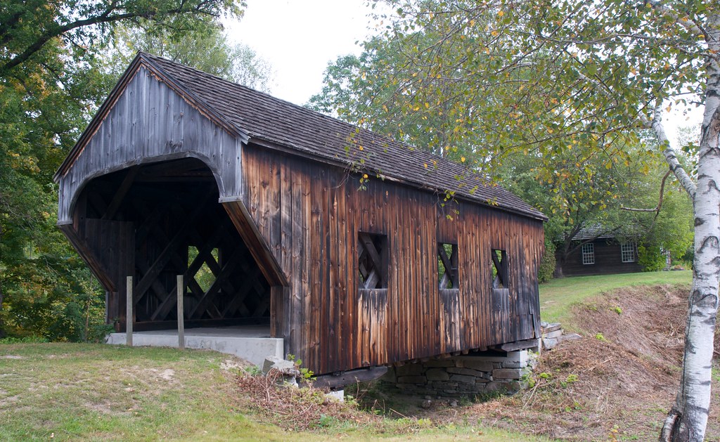
Baltimore Covered Bridge
A relocated bridge at Eureka Schoolhouse
Baltimore Covered Bridge stands at the Eureka Schoolhouse State Historic Site in Springfield. Built in 1870, it once crossed Great Brook in North Springfield before being moved to the historic site in 1970.
Location & approach
Research Eureka Schoolhouse at 470 Charlestown Road on VT Route 11 in Springfield. Check the state historic site’s current visiting arrangements; this is a preserved-site visit rather than a road crossing.
WEST WINDSOR
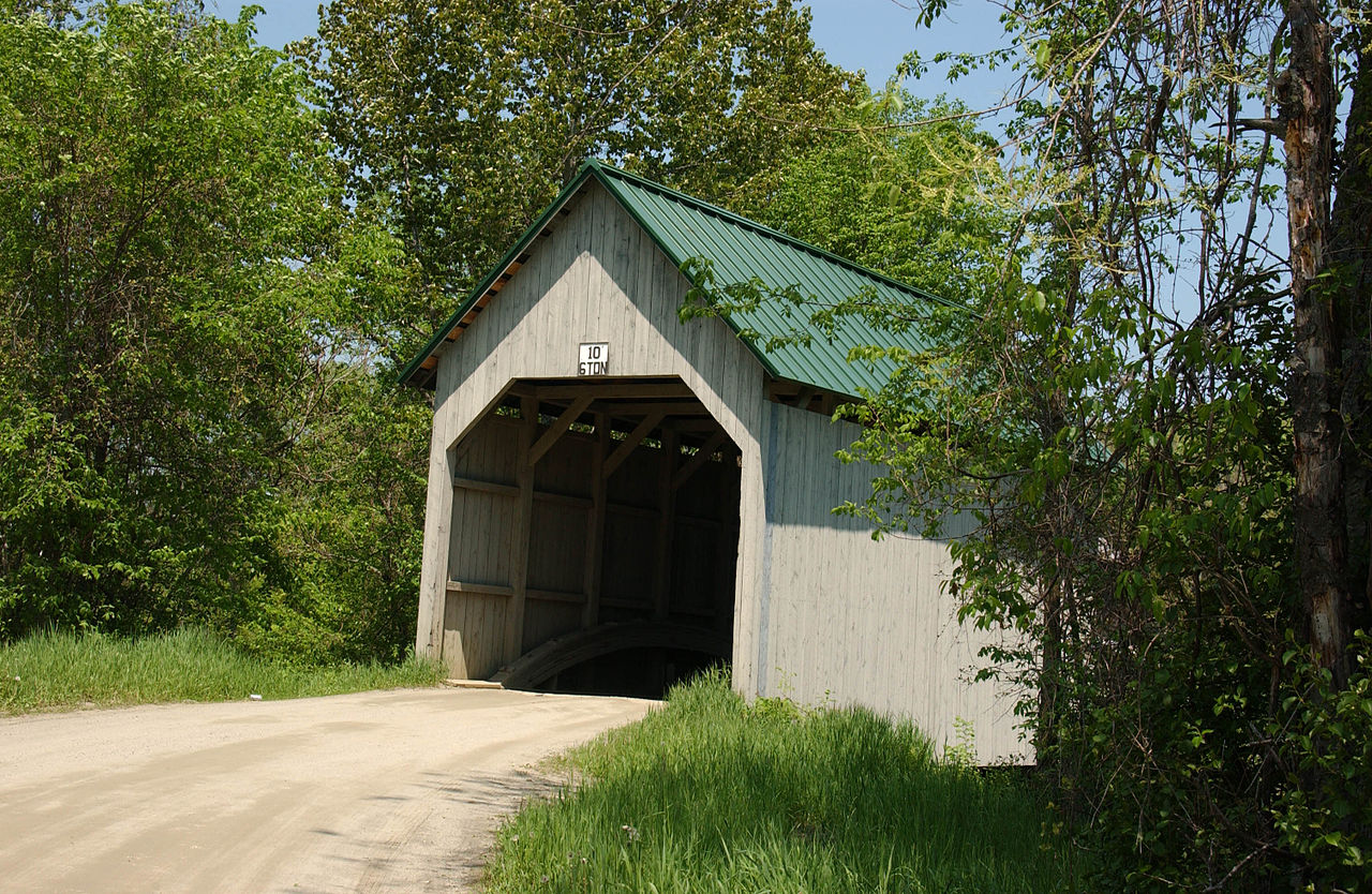
Best’s Covered Bridge
Also known as Swallow’s Bridge
Best’s Covered Bridge carries Churchill Road across Mill Brook in West Windsor. Its laminated-arch construction gives it a different structural story from the county’s familiar lattice bridges.
Location & approach
Look for Churchill Road south of VT Route 44 near Brownsville. Confirm current navigation and posted vehicle restrictions before approaching.
WEST WINDSOR
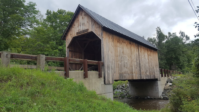
Bowers Covered Bridge
Also known as Brownsville Bridge
Bowers Covered Bridge crosses Mill Brook on Bible Hill Road in the Brownsville area of West Windsor. Its history includes rebuilding after Tropical Storm Irene, so older damage or closure discussions should not be treated as current access information.
Location & approach
Research Bible Hill Road off VT Route 44 west of Brownsville. Confirm current restrictions with the town and follow signs at the bridge.

WINDSOR / CORNISH, NEW HAMPSHIRE
Cornish–Windsor Covered Bridge
A covered crossing between two states
Cornish–Windsor Covered Bridge spans the Connecticut River between Windsor, Vermont, and Cornish, New Hampshire. Its two-span timber structure makes it a distinctive interstate landmark in this county guide.
Location & approach
Research Bridge Street from Windsor or the approach from NH Route 12A in Cornish. Check clearance and vehicle restrictions, and use safe, permitted places for photographs.
WEST WOODSTOCK
Lincoln Covered Bridge
A Pratt truss crossing
Lincoln Covered Bridge stands just south of US Route 4 in West Woodstock. Built in 1877, its wooden Pratt truss offers a different design to look for when exploring bridges around Woodstock.
Location & approach
Use the bridge’s full name and West Woodstock in navigation. Confirm the approach south of US Route 4 and keep roadways and neighboring driveways clear.
HARTLAND
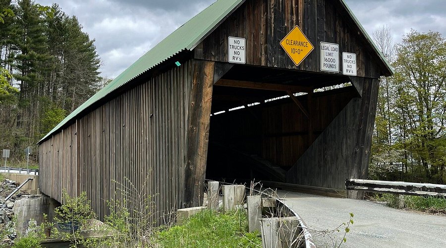
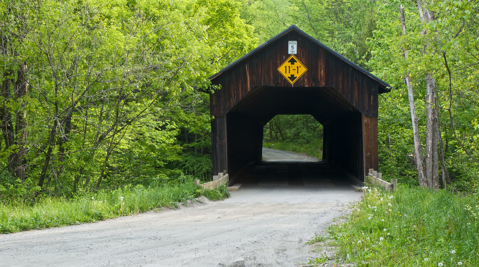
Martin’s Mill Covered Bridge
A Lull’s Brook crossing
Martin’s Mill Covered Bridge carries Martinsville Road across Lull’s Brook in Hartland. It is a separate location from the paired covered bridges on Mill Street in North Hartland.
Location & approach
Look for Martinsville Road off US Route 5 near Hartland. Check the full road name to avoid confusing it with Mill Street.
WOODSTOCK
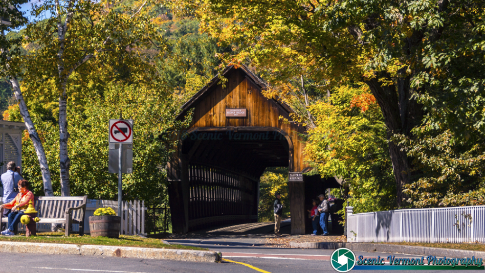
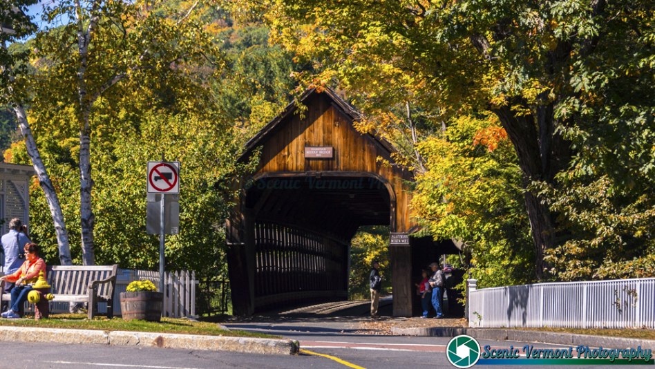
Middle Covered Bridge
A village bridge built with traditional methods
Middle Covered Bridge crosses the Ottauquechee River near the Woodstock village green. Built in 1969, it combines a relatively recent construction date with traditional covered-bridge craftsmanship.
Location & approach
Look for Mountain Avenue beside the village green. Use designated village parking and follow current pedestrian and vehicle guidance.
NORTH HARTLAND
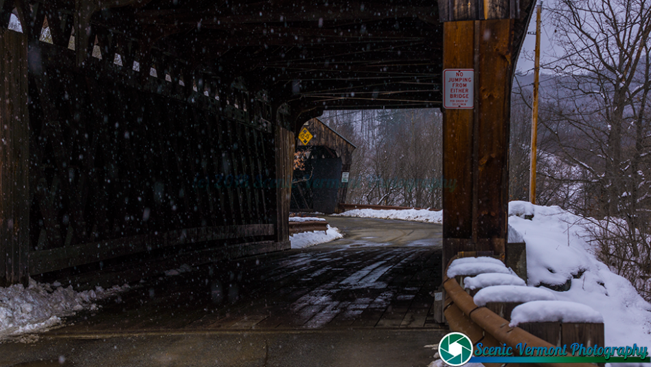
North Hartland Twin Covered Bridge
The newer western span on Mill Street
The western covered bridge on Mill Street was built in 2001. It stands beside the historic Willard Covered Bridge, with a small island connecting the two crossings of the Ottauquechee River.
Location & approach
Look for Mill Street off US Route 5 in North Hartland. Plan this and Willard as one paired-bridge location rather than two separate driving destinations.
QUECHEE / HARTFORD
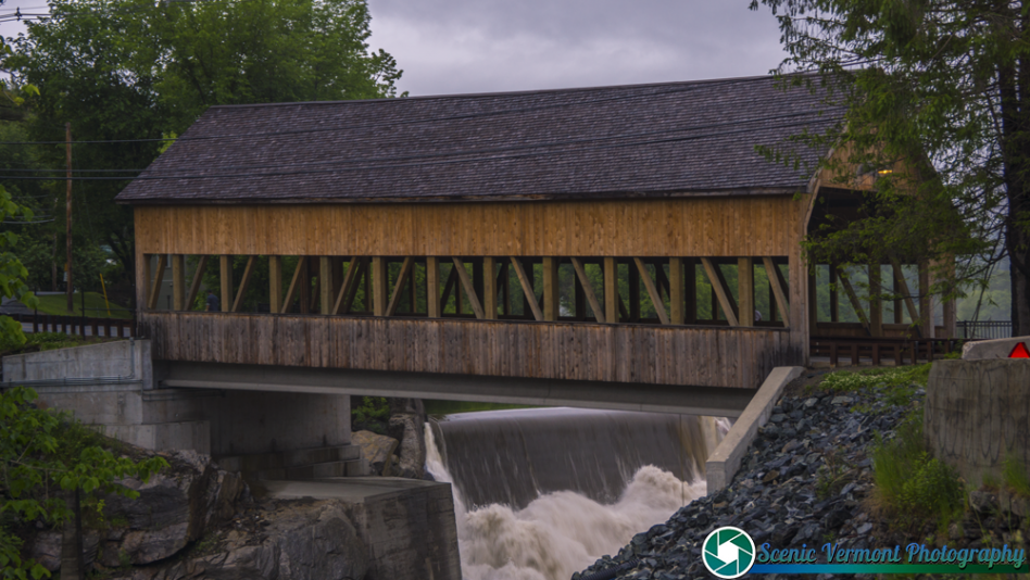
Quechee Covered Bridge
A rebuilt village crossing
Quechee Covered Bridge spans the Ottauquechee River where Waterman Hill Road meets Quechee Main Street. Following severe damage during Tropical Storm Irene in 2011, the bridge was redesigned and rebuilt in 2012 using modern and traditional materials.
Location & approach
Research Waterman Hill Road and Quechee Main Street in Quechee village. Use permitted parking and the designated pedestrian walkway where open.
WEATHERSFIELD
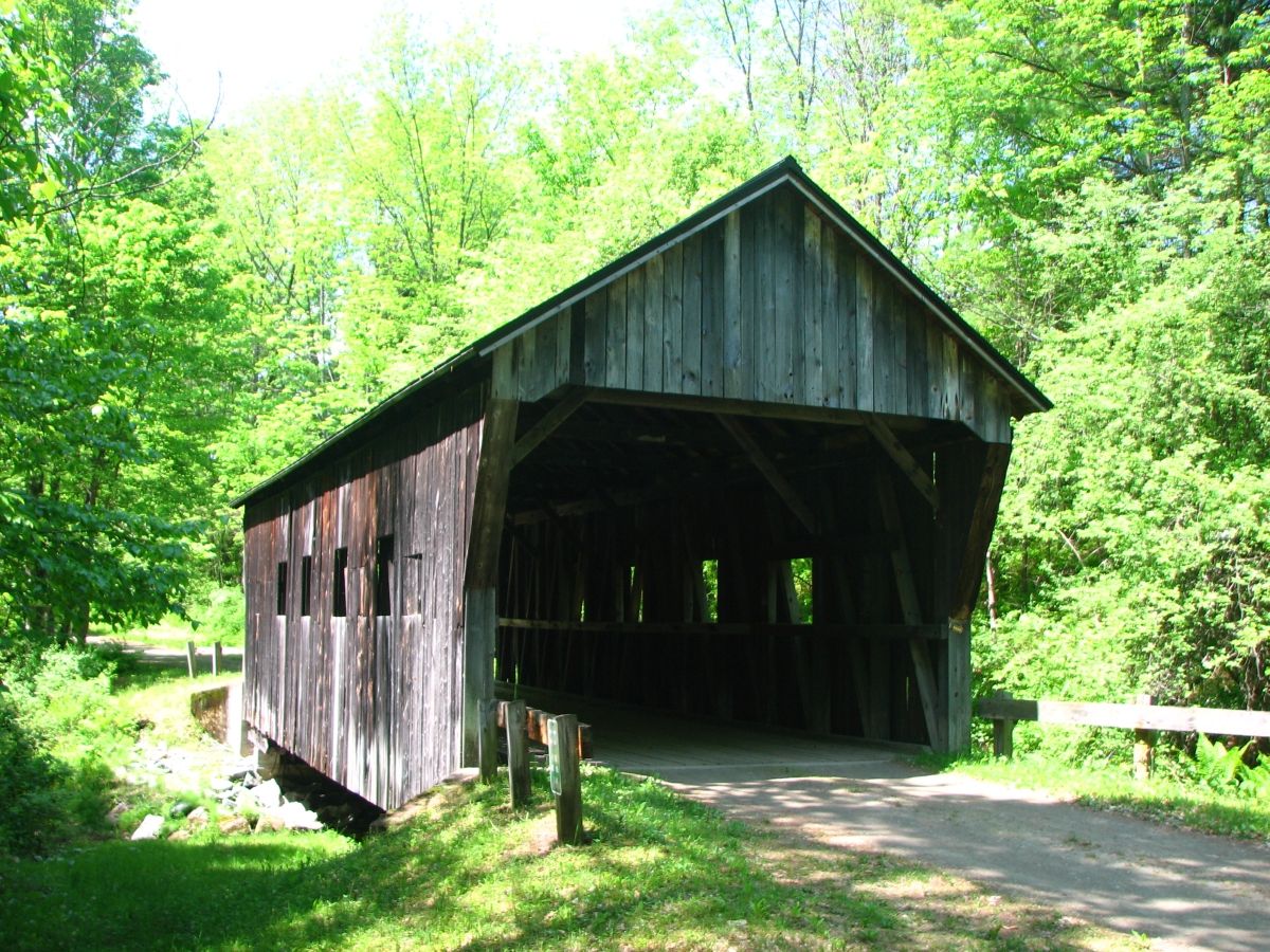
Salmond Covered Bridge
A relocated crossing over Sherman Brook
Salmond Covered Bridge crosses Sherman Brook on Henry Gould Road in Weathersfield. Its history includes relocation, years as a storage building and restoration at its present site in 1986.
Location & approach
Research Henry Gould Road in Weathersfield rather than relying on the former Route 131 storage location. Confirm the current approach and respect the surrounding property.
SOUTH POMFRET
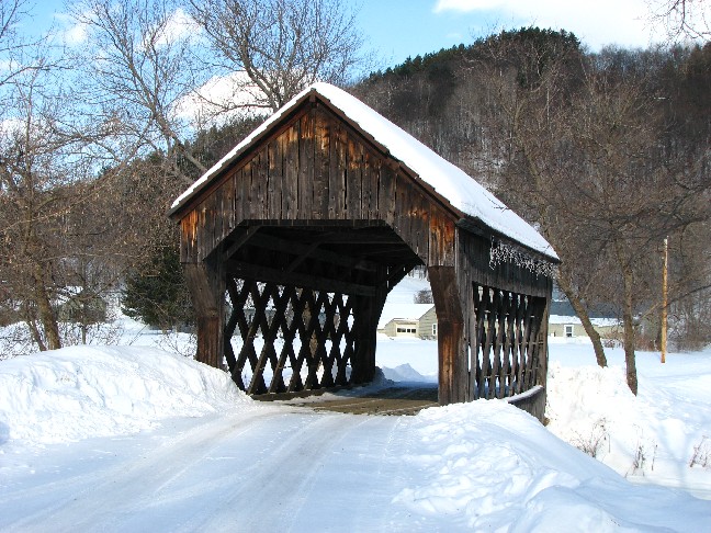
South Pomfret Covered Bridge
Also known as Garfield Covered Bridge
South Pomfret Covered Bridge carries a private driveway over Barnard Brook. Also known as Garfield Covered Bridge, it was moved from an earlier location in Hyde Park and is not a public through-road crossing.
Location & approach
Research the Pomfret Road area of South Pomfret. Obtain permission before entering the private drive, farm access or bridge; a listing or photograph does not grant public access.
TAFTSVILLE / WOODSTOCK
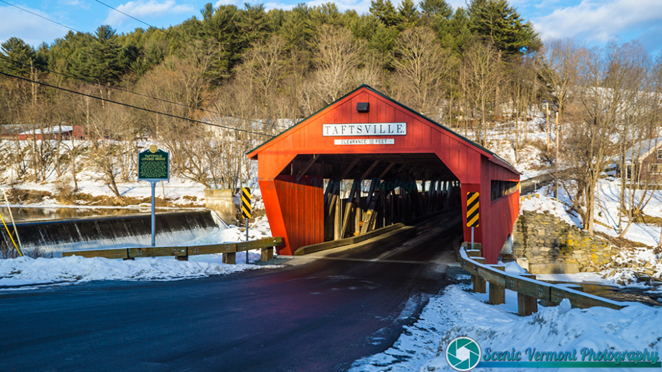
Taftsville Covered Bridge
A restored Ottauquechee River landmark
Taftsville Covered Bridge crosses the Ottauquechee River in the Taftsville village of Woodstock. Built in 1836, it underwent substantial repairs after Tropical Storm Irene and reopened in 2013.
Location & approach
Look for the bridge at River Road near US Route 4 in Taftsville. Use current navigation and follow local parking and traffic signs.
WEATHERSFIELD
Upper Falls Covered Bridge
Also known as Downers Covered Bridge
Upper Falls Covered Bridge carries Upper Falls Road across the Black River in Weathersfield. Its alternate name, Downers Bridge, can help when researching the crossing and nearby routes.
Location & approach
Look for Upper Falls Road south of VT Route 131 near the VT Route 106 junction. Confirm the final approach and posted limits before crossing.
NORTH HARTLAND
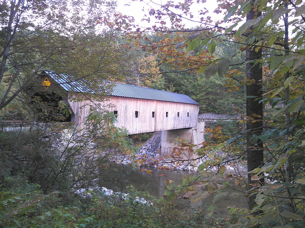
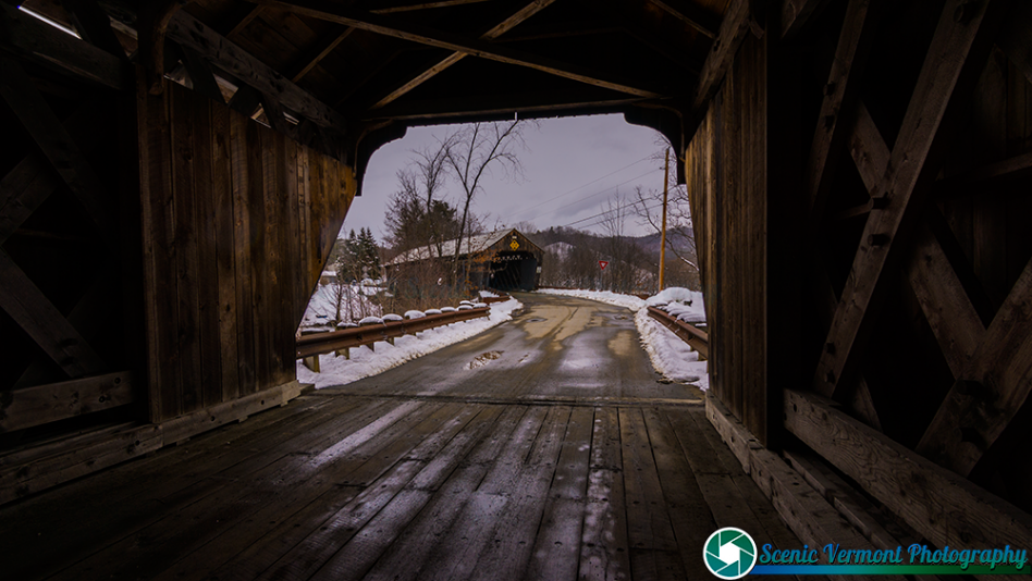
Willard Covered Bridge
The historic eastern span on Mill Street
Willard Covered Bridge is the historic eastern bridge of the pair on Mill Street across the Ottauquechee River. The neighboring western covered bridge dates to 2001; both belong to the same North Hartland bridge stop.
Location & approach
Research Mill Street off US Route 5 in North Hartland. View this listing alongside North Hartland Twin, and follow current signs at both spans.
MAKE A DAY OF IT
Build a bridge route at your own pace
Woodstock & Quechee
Compare Middle, Lincoln, Taftsville and Quechee for an outing along the Ottauquechee River corridor. South Pomfret requires separate permission for private access.
Hartland & Windsor
Research Martin’s Mill and the two Mill Street bridges in Hartland, then decide whether to add Cornish–Windsor. The interstate bridge reaches into New Hampshire.
West Windsor
Consider Best’s and Bowers around Brownsville. Check road names and current restrictions before planning a crossing.
Weathersfield & Springfield
Compare Salmond and Upper Falls in Weathersfield with Baltimore at Eureka Schoolhouse in Springfield. Confirm historic-site visiting arrangements separately from road access.
Enjoy the view. Respect the crossing.
Use permitted parking and keep roads, bridge entrances and private driveways clear. Photograph from safe places, respect nearby homes and follow all closure, clearance and weight signs.
Check road conditions after heavy rain and use a flexible itinerary during repair work. Photographs show the bridges when photographed; signs or road conditions in older images may have changed.
Windsor County covered-bridge questions
How many listings are in this guide?
This page features 14 bridge listings. North Hartland Twin and Willard are the neighboring spans at one Mill Street destination. The guide is a selection, not a complete county inventory.
Are North Hartland Twin and Willard the same bridge?
They are two neighboring covered spans connected by a small island. Willard is the historic eastern bridge; the western bridge dates to 2001. Plan them as one paired location.
Does Cornish–Windsor lie entirely in Vermont?
No. It crosses the Connecticut River between Windsor, Vermont, and Cornish, New Hampshire.
Can I drive through Baltimore Covered Bridge?
Plan Baltimore as a preserved-site visit at Eureka Schoolhouse in Springfield, rather than a road crossing. Check current visiting arrangements with the state historic site.
Is South Pomfret Covered Bridge public?
The bridge serves a private driveway. Obtain permission before entering the drive, farm access or bridge.
Was Quechee Covered Bridge rebuilt after Irene?
Yes. After major flood damage in 2011, it was redesigned and rebuilt in 2012. The current structure combines modern and traditional materials.
Where is Salmond Covered Bridge today?
Salmond is on Henry Gould Road over Sherman Brook in Weathersfield. Its former storage location near Route 131 should not be used as the destination.
KEEP EXPLORING
Find another Vermont crossing
Explore another county, follow a scenic byway and discover more bridge stories along your route.