
SUMMER ROADS. TIMELESS CROSSINGS.
Vermont Covered Bridges Map
Find covered bridges along your Vermont route and turn a summer drive into a day of village stops, river views and local discoveries.
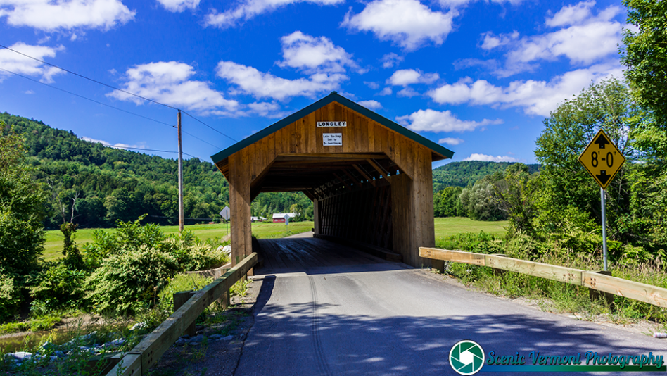
FIND A BRIDGE. CHOOSE A ROUTE. ENJOY THE JOURNEY.
Home / Covered Bridges / Map
YOUR STARTING POINT
Explore the covered bridges map
Zoom into the area you plan to visit and select a marker to view the information supplied by the map. Open the larger map for more room to explore, or use the county directory to browse bridge listings.
This is the existing user-created Google My Maps guide. Use it to discover locations, then confirm local access, road conditions and parking before traveling. If the map does not load, use the larger-map link or county directory above.
MAKE A SUMMER DAY OF IT
Plan your covered-bridge drive
1. Choose one area
Start near your lodging or along your planned drive. Group a few nearby bridges together so you have time to enjoy each stop.
2. Check the details
Use the county listings to learn more about the bridges on your route. Check posted access information and use a navigation service for current driving directions.
3. Leave time to linger
Add a village lunch or another nearby attraction. A shorter route gives you room for photographs and unplanned discoveries.
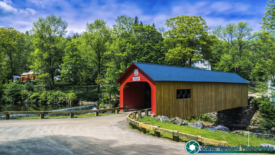
GO BEYOND THE PIN
Browse Vermont bridges by county
A county-by-county guide makes it easier to focus your trip on one part of Vermont. Use it alongside the map to compare locations and choose the stops that fit your day.
For more background and inspiration, explore the main covered-bridges guide before building your route.
A LITTLE CARE GOES A LONG WAY
Enjoy the stop. Respect the crossing.
Park and photograph thoughtfully
Use designated public parking where available and keep roadways, bridge entrances and private driveways clear. Take photographs from a safe, permitted place without obstructing traffic.
Follow local signs
A map marker does not confirm vehicle access or public entry. Follow posted restrictions, private-property notices and closure signs. Check local guidance before taking a vehicle across a bridge.
Covered bridges map: common questions
How do I use the Vermont covered bridges map?
Zoom into the area you want to explore and select a marker to read the map’s available details. Use the larger-map button for a wider view and the county directory to browse listings.
Does the map show every covered bridge in Vermont?
The embedded guide is a user-created map. Completeness and updates are not guaranteed, so use the county directory and local information as additional references.
Can I drive through every covered bridge?
No. Access, vehicle restrictions and closures vary. Check signs and current local information before approaching or crossing a bridge.
Can I use the map on my phone?
The map frame adjusts to the page width. If the embedded view is difficult to use or does not load, open the larger map using the button beneath it.
Where can I find more details about a bridge?
Start with the covered bridges by county directory and the main covered-bridges guide. For current access or closure information, check with the relevant town or road authority.
KEEP EXPLORING
Take the scenic route through Vermont
Pair your bridge stops with scenic byways, local attractions and more ideas for a relaxed Vermont day out.