
Vermont's Covered Bridges - Windham County
WINDHAM COUNTY · VERMONT
Covered Bridges in Windham County, Vermont
Discover 10 covered-bridge listings across southern Vermont, with photographs, location notes and ideas for exploring Windham County’s river valleys.
SUMMER ROADS. RIVER VIEWS. VERMONT BRIDGE STORIES.
Home / Covered Bridges / Windham County
FIND YOUR NEXT CROSSING
Explore Windham County’s covered bridges
Choose a few stops along the West River, explore Rockingham and Grafton, or plan a southern outing around Brattleboro and Guilford. This guide brings together 10 bridge listings with photographs and named-road approaches.
The listings include historic structures, replacement covered bridges and pedestrian destinations. Read the individual access notes, compare locations on the map and check current conditions before traveling.
ROCKINGHAM
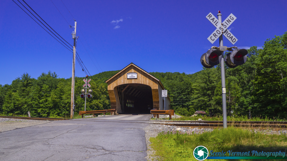
Bartonsville Covered Bridge
A rebuilt Williams River crossing
Bartonsville Covered Bridge carries Lower Bartonsville Road over the Williams River. The present covered bridge replaced the historic structure swept away during Tropical Storm Irene in 2011, continuing the village’s covered-crossing tradition.
Location & approach
Look for Lower Bartonsville Road off VT Route 103 in Rockingham. Confirm the bridge approach and posted vehicle restrictions before traveling.
BRATTLEBORO
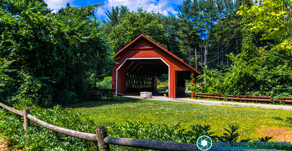
Creamery Covered Bridge
A pedestrian stop in West Brattleboro
Creamery Covered Bridge spans Whetstone Brook near Guilford Street, just south of VT Route 9. Its red siding and timber lattice make it a distinctive place to explore on foot rather than plan a drive-through crossing.
Location & approach
Research Guilford Street near VT Route 9 in West Brattleboro. Use permitted parking and follow current pedestrian-access signs.
GUILFORD
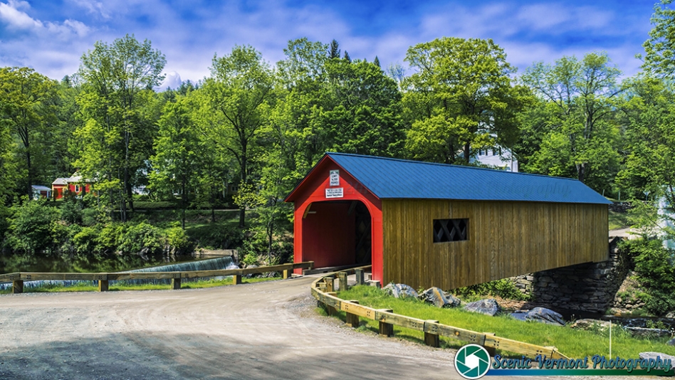
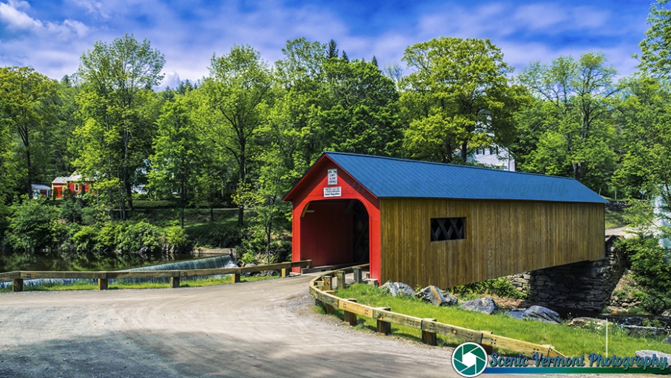
Green River Covered Bridge
A village crossing in western Guilford
Green River Covered Bridge carries Green River Road across its namesake river in the village of Green River. Its setting offers a different kind of stop from the county’s larger river crossings.
Location & approach
Research Green River village in Guilford via Guilford Center Road and Jacksonville Stage Road. Confirm the final approach and respect nearby homes and private property.
ROCKINGHAM
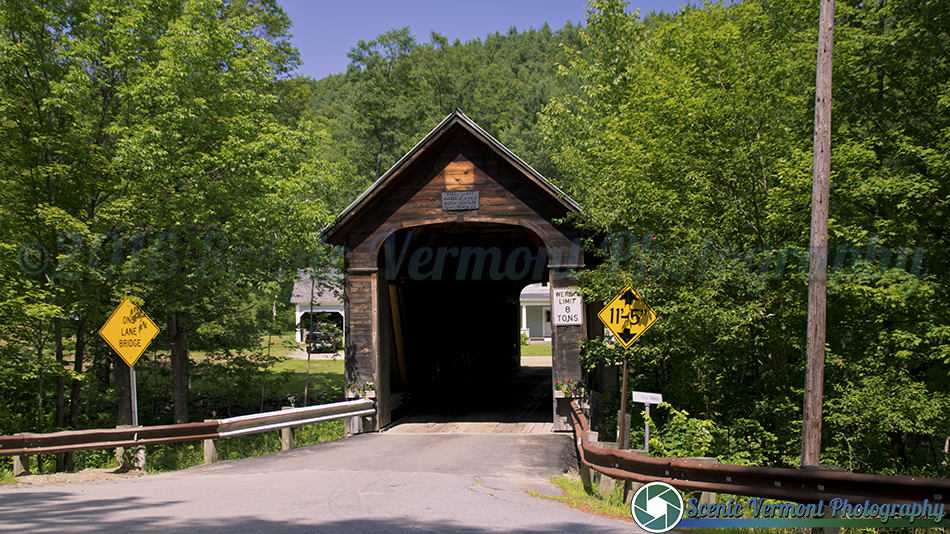
Hall Covered Bridge
A replica across the Saxtons River
Hall Covered Bridge carries Hall Bridge Road across the Saxtons River. The current structure was built in 1982 after the earlier bridge was destroyed by an overweight truck in 1980.
Location & approach
Look for Hall Bridge Road near VT Route 121 in southern Rockingham. Check the bridge name in navigation and follow posted clearance and weight limits.
GRAFTON
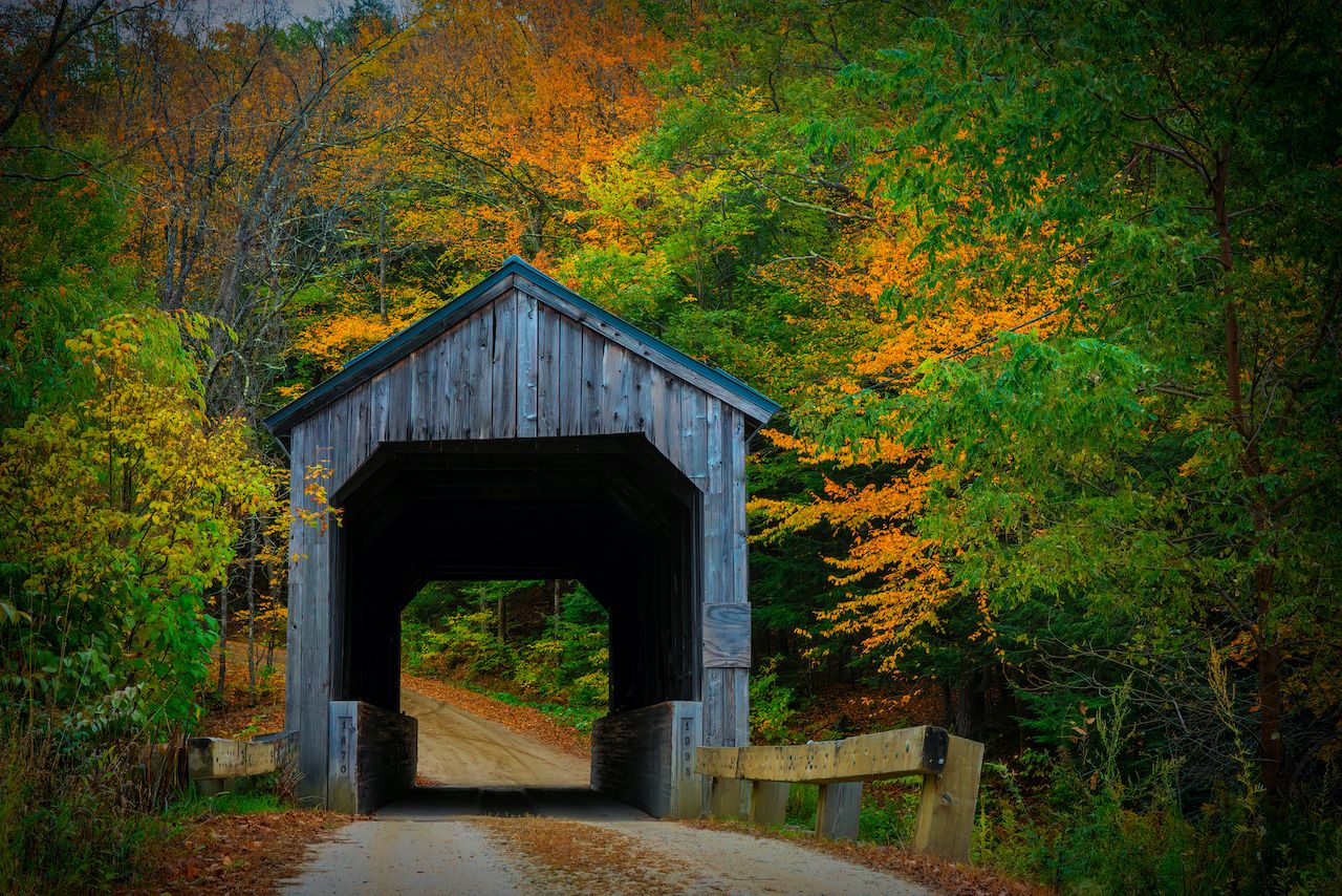
Kidder Hill Covered Bridge
Also known as Kidder Covered Bridge
Kidder Hill Covered Bridge carries Kidder Hill Road across the South Branch of the Saxtons River near Grafton village. Its small-road setting makes it a natural companion to a village visit.
Location & approach
Look for Kidder Hill Road near the VT Route 121 and VT Route 35 junction in Grafton. The road is a dead end; keep access clear and turn around only where permitted.
TOWNSHEND
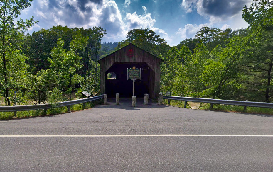
Scott Covered Bridge
A preserved West River crossing
Scott Covered Bridge spans the West River in Townshend. This long timber bridge was restored for pedestrian use, offering a way to appreciate the structure without treating it as a vehicle crossing.
Location & approach
Look for the bridge off VT Route 30 near Townshend. Plan a pedestrian visit subject to current site signs and access information; do not attempt to drive across.
ROCKINGHAM
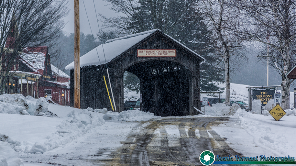
Victorian Village Covered Bridge
The Vermont Country Store’s Kissing Bridge
Victorian Village Covered Bridge is the covered bridge beside the Vermont Country Store in Rockingham, also known as the Kissing Bridge. Its store-side setting distinguishes it from the county’s public-road crossings.
Location & approach
Look for the Vermont Country Store on VT Route 103 in Rockingham. Follow the property’s current visitor guidance and parking signs.
DUMMERSTON
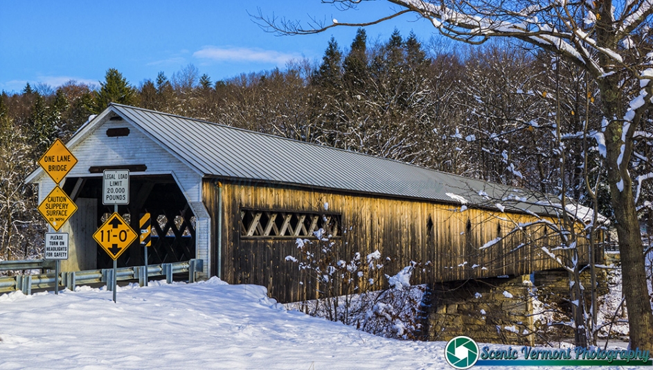
West Dummerston Covered Bridge
A long span over the West River
West Dummerston Covered Bridge crosses the West River near VT Route 30. Its long timber structure is a memorable landmark to consider along a West River Valley drive.
Location & approach
Research the East West Road crossing near VT Route 30 in Dummerston. Confirm the final approach and use permitted parking without blocking the roadway.
NEWFANE
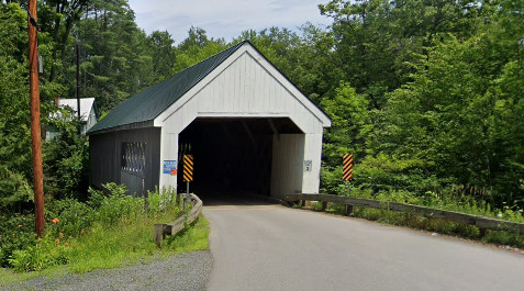
Williamsville Covered Bridge
A replacement completed in 2010
Williamsville Covered Bridge carries Dover Road across the Rock River in Newfane. The present covered bridge was installed in 2010 to replace the earlier structure; it should not be described as the original nineteenth-century bridge.
Location & approach
Research Dover Road near Williamsville, approached from VT Route 30 via Williamsville Road. Follow current navigation and posted vehicle restrictions.
ROCKINGHAM
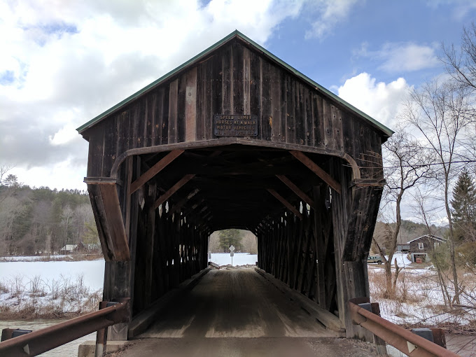
Worrall Covered Bridge
Also spelled Worral or Woralls Bridge
Worrall Covered Bridge crosses the Williams River on Williams Road in Rockingham. Its history includes flood damage and repair work, so older descriptions of its condition should be checked against current town information.
Location & approach
Look for Williams Road off VT Route 103 south of Bartonsville. Confirm access and any repair-related restrictions with the Town of Rockingham before adding a crossing to your route.
MAKE A DAY OF IT
Build a bridge route at your own pace
Brattleboro & Guilford
Consider Creamery for a pedestrian stop, then research Green River in Guilford. Compare the rural roads before choosing a route between them.
The West River Valley
Explore West Dummerston, Williamsville and Scott as possible stops around the Route 30 corridor. Scott is a pedestrian destination, and Williamsville requires a detour toward Dover Road.
Rockingham & Grafton
Compare Bartonsville, Hall, Worrall and the Kissing Bridge around Rockingham, with Kidder Hill in Grafton as a possible addition. Confirm Worrall’s current access with the town.
Enjoy the view. Respect the crossing.
Use permitted parking and keep roads, bridge entrances and private driveways clear. Photograph from safe places, respect nearby homes and follow all closure, clearance and weight signs.
Check road conditions after heavy rain and use a flexible itinerary during repair work. Photographs show the bridges when photographed; signs or road conditions in older images may have changed.
Windham County covered-bridge questions
How many bridges are featured in this guide?
This page features 10 covered-bridge listings in Windham County. It is a trip-planning selection, not a complete inventory of every covered structure.
Which bridges are pedestrian stops?
Plan Creamery in Brattleboro and Scott in Townshend as pedestrian stops. Follow current site signs and confirm access before visiting.
Is Williamsville Covered Bridge the original historic structure?
No. The current Williamsville bridge was installed in 2010 to replace the earlier bridge over the Rock River.
What happened to the original Bartonsville bridge?
The historic Bartonsville Covered Bridge was swept away during Tropical Storm Irene in 2011. A replacement covered bridge now serves Lower Bartonsville Road.
Where is the Kissing Bridge?
The Kissing Bridge, also called Victorian Village Covered Bridge, is beside the Vermont Country Store in Rockingham on VT Route 103.
Can I drive across Worrall Covered Bridge?
Check current Town of Rockingham information and posted restrictions before planning a crossing. Older flood-damage or repair reports do not establish today’s access.
Where can I find a bridge map?
Use the statewide covered bridges map linked throughout this guide to compare locations, then confirm your final route and access with local sources.
KEEP EXPLORING
Find another Vermont crossing
Explore another county, follow a scenic byway and discover more bridge stories along your route.