
Vermont's Covered Bridges - Franklin County
FRANKLIN COUNTY · VERMONT
Covered Bridges in Franklin County
Explore eight covered bridges around Montgomery, Enosburg, East Fairfield and Fairfax, with original photos and location notes for your Vermont drive.
COUNTRY ROADS. VILLAGE STOPS. FRANKLIN COUNTY CROSSINGS.
Home / Covered Bridges / Franklin County
CHOOSE YOUR NEXT CROSSING
Discover Franklin County’s bridge heritage
Start with the covered bridges around Montgomery and nearby Enosburg, or plan a separate outing to East Fairfield and Fairfax. These eight featured crossings give you several ways to explore the county at your own pace.
Browse the photographs and location notes, then check current directions, road conditions and restrictions. This guide is a selection of bridge stops, not a complete inventory or a live access report.
MONTGOMERY
Comstock Covered Bridge
A Trout River crossing
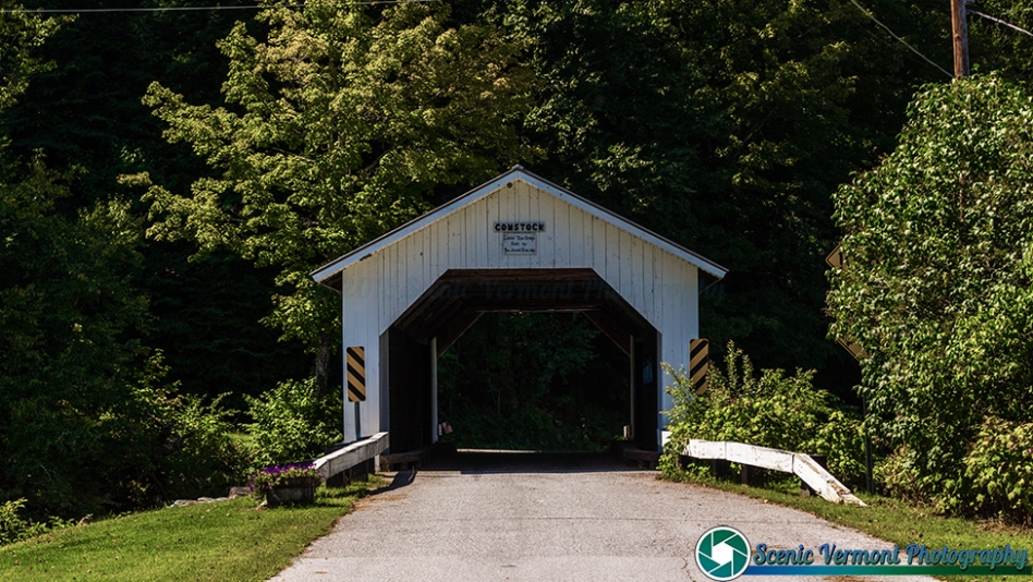
Comstock Covered Bridge crosses the Trout River on Comstock Bridge Road. Montgomery’s town plan dates it to 1883 and connects it to the area’s tradition of Town lattice bridges built by the Jewett brothers.
Location & approach
Research Comstock Bridge Road off VT Route 118 near Montgomery village. Use the bridge name to confirm the destination and follow current signs.
MONTGOMERY
Creamery Covered Bridge
Also known as West Hill or Crystal Springs
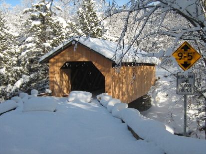
Creamery Covered Bridge crosses West Hill Brook on Creamery Bridge Road. Its alternate names—West Hill and Crystal Springs—appear in Montgomery’s historical records.
Location & approach
Approach via West Hill Road and Creamery Bridge Road. The local historical society explicitly warns that West Hill Road and Hill West Road are different roads. Check the exact route and current access before leaving.
MONTGOMERY
Longley Covered Bridge
Also known as Harnois Covered Bridge
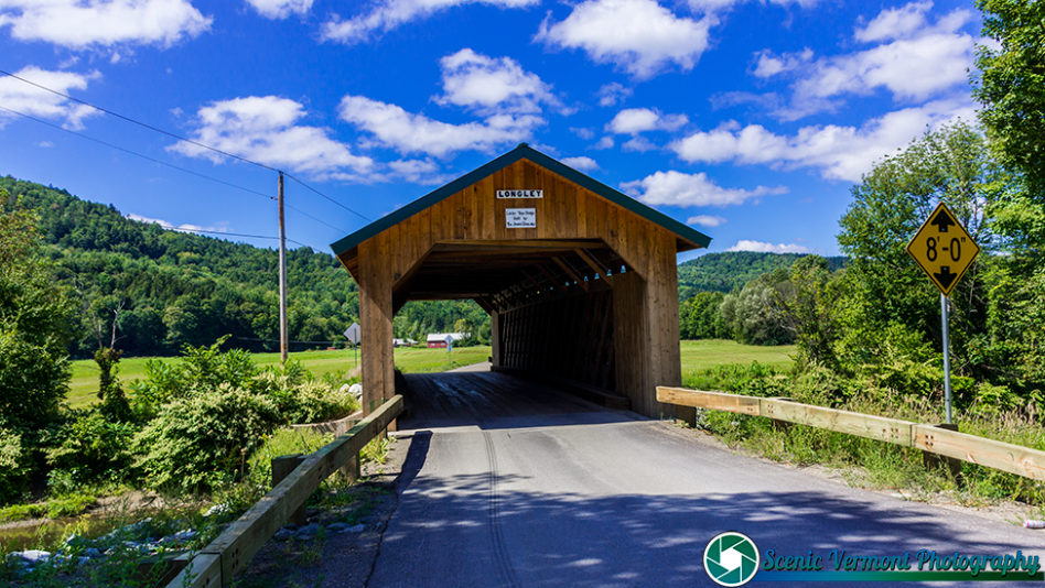
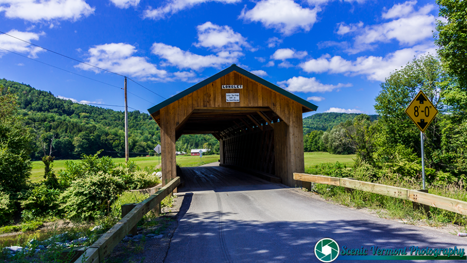
Longley Covered Bridge crosses the Trout River on Longley Bridge Road. Montgomery’s town plan records its construction in 1863, making it an early example within the group featured here.
Location & approach
Look for Longley Bridge Road off VT Route 118 northwest of Montgomery village. Check current road notices before planning your approach.
MONTGOMERY
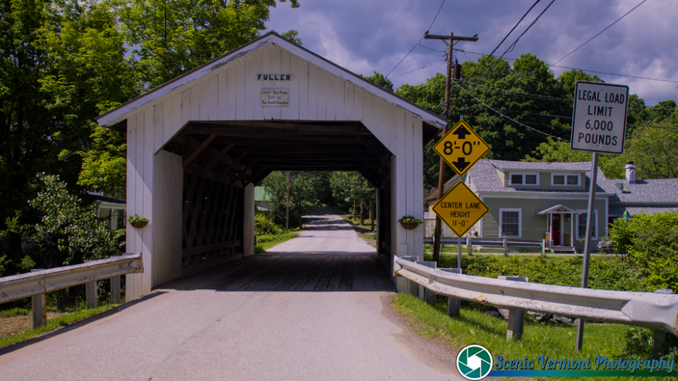
Fuller Covered Bridge
Also known as Black Falls Covered Bridge
Fuller Covered Bridge spans Black Falls Brook in Montgomery. The local historical society lists the bridge on Fuller Bridge Road, while the town plan also uses South Richford Road in its location description.
Location & approach
Use Fuller Covered Bridge in Montgomery as your destination near VT Route 118. Check the road names in current navigation rather than assuming every reference uses the same label.
EAST FAIRFIELD
East Fairfield Covered Bridge
A village crossing over Black Creek
East Fairfield Covered Bridge crosses Black Creek on Bridge Street in the village of East Fairfield. It offers a separate stop from the cluster around Montgomery and Enosburg.
Location & approach
Research Bridge Street off VT Route 36 at the western side of East Fairfield village. Confirm a permitted place to stop without blocking the roadway or nearby properties.
ENOSBURG / MONTGOMERY AREA
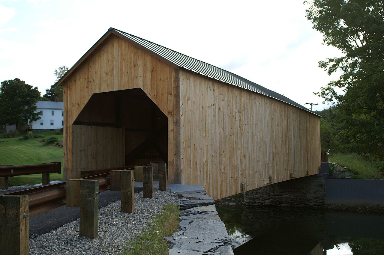
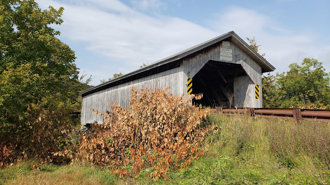
Hopkins Covered Bridge
A Trout River stop near the town line
Hopkins Covered Bridge spans the Trout River on Hopkins Bridge Road near Enosburg and Montgomery. The local historical society includes it with the area’s bridge tour and dates it to 1875.
Location & approach
Look for Hopkins Bridge Road off VT Route 118 near the Enosburg–Montgomery town line. Confirm current directions and posted vehicle restrictions before approaching.
FAIRFAX
Maple Street Covered Bridge
Also known as Lower or Fairfax Covered Bridge
Maple Street Covered Bridge crosses Mill Brook in Fairfax. It is another Franklin County location to research when planning a village-focused outing away from the Montgomery area.
Location & approach
Research Maple Street south of VT Route 104 in Fairfax village. Check current access, parking and signs rather than assuming a crossing or roadside stop is available.
MONTGOMERY
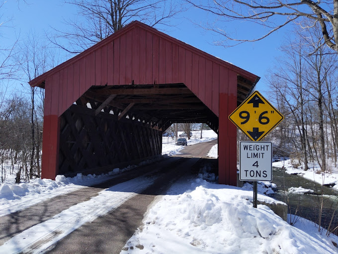
Hutchins Covered Bridge
Across the South Branch of the Trout River
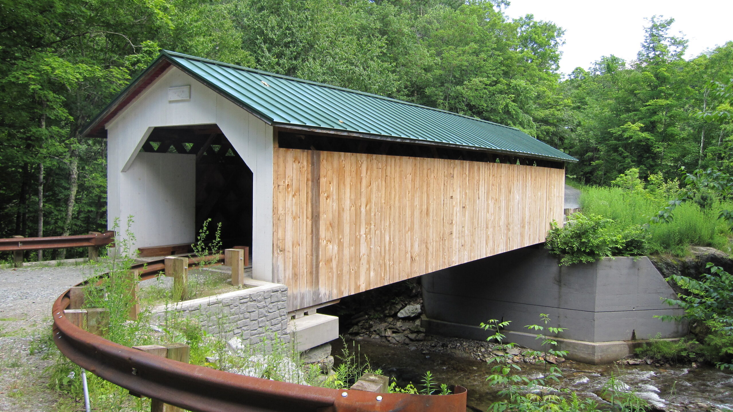
Hutchins Covered Bridge crosses the South Branch of the Trout River on Hutchins Bridge Road. Montgomery’s town plan records it as an 1883 Town lattice bridge associated with the Jewett brothers.
Location & approach
Research Hutchins Bridge Road via South Brook Road off VT Route 118, south of Montgomery Center. Follow current directions and leave bridge entrances clear.
PLAN BY AREA
Build a route with room to explore
Montgomery & Enosburg
Research Comstock, Creamery, Longley, Fuller, Hopkins and Hutchins as a group. Start with the local historical society’s guide, then choose the stops that fit your starting point and available time.
East Fairfield & Fairfax
Consider East Fairfield and Maple Street for another outing. Compare driving distances before combining them with the Montgomery-area bridges, and leave time for a meal or village stop.
A thoughtful covered-bridge visit
Use permitted parking, keep private driveways and bridge entrances clear, and photograph from safe places outside traffic lanes. Follow all closure and vehicle-restriction signs; never climb on bridge timbers or enter closed areas.
Road conditions and repair work can affect your route. Confirm information close to your visit and keep a flexible alternative in mind if a crossing or approach is unavailable.
Franklin County covered-bridge questions
Which Franklin County covered bridges are included?
The eight featured bridges are Comstock, Creamery, Longley, Fuller, East Fairfield, Hopkins, Maple Street and Hutchins. This guide does not claim to list every covered structure in the county.
Which bridges can I research around Montgomery?
Start with Comstock, Creamery, Longley, Fuller and Hutchins, plus nearby Hopkins in the Enosburg–Montgomery area. Check the route and access arrangements for each stop.
Which road leads toward Creamery Covered Bridge?
The local historical society specifies West Hill Road, then Creamery Bridge Road. West Hill Road and Hill West Road are different roads, so confirm the spelling and destination when planning.
Does Fuller Covered Bridge have another name?
Yes. Fuller is also known as Black Falls Covered Bridge. Different sources also use Fuller Bridge Road or South Richford Road in location descriptions.
Can I drive through every listed bridge?
Check current access, posted restrictions and your vehicle’s suitability at each location. A directory listing is not confirmation that a bridge is open or that parking is available.
KEEP EXPLORING VERMONT
Find another bridge along the way
Continue with the statewide map and background guide to Vermont’s covered bridges.