
Vermont's Covered Bridges - Bennington County
BENNINGTON COUNTY · VERMONT
Covered Bridges in Bennington County
Discover five covered bridges, from the Walloomsac River crossings near Bennington to scenic stops in Sunderland and West Arlington.
RIVER CROSSINGS. COUNTRY ROADS. SOUTHERN VERMONT DISCOVERIES.
Home / Covered Bridges / Bennington County
FIND YOUR NEXT STOP
Explore Bennington County’s covered bridges
This guide brings together the five bridges on the original county page: Henry, Paper Mill Village, Silk Road, Chiselville and Arlington Green. Browse their photos and location notes, then use the statewide map to see how they fit into your trip.
Choose a small group of stops and leave time for the towns along the way. A bridge listing does not confirm current road access, parking or vehicle clearance; follow local signs and check conditions before traveling.
BENNINGTON / NORTH BENNINGTON
Henry Covered Bridge
Also known as Burt Henry Covered Bridge
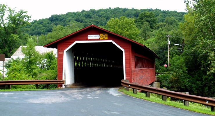
Henry Covered Bridge carries River Road across the Walloomsac River near North Bennington. Its Town lattice truss design makes it a useful starting point for exploring the timber bridges along this river.
Location & approach
Look for River Road south of North Bennington, approached from VT Route 67A. The original guide places the bridge about half a mile along River Road from Route 67A. Confirm the current route and follow posted restrictions.
BENNINGTON
Paper Mill Village Covered Bridge
Also known as Paper Mill or Bennington Falls Covered Bridge
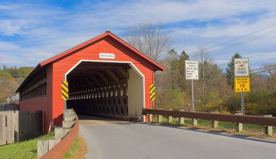
Paper Mill Village Covered Bridge carries Murphy Road across the Walloomsac River northwest of Bennington. It is one of the three river crossings featured in the Bennington-area group of this guide.
Location & approach
Research Murphy Road off VT Route 67A. Use the bridge name and road when checking directions, and look for a permitted stopping place without obstructing the bridge approach.
BENNINGTON
Silk Road Covered Bridge
Also known as Silk Covered Bridge
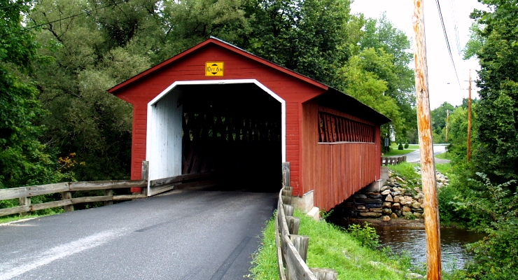
Silk Road Covered Bridge crosses the Walloomsac River between Bennington and North Bennington. Its Town lattice timberwork provides another view of the construction style represented in this area.
Location & approach
Look for Silk Road south of VT Route 67A, near Bennington College. The original guide places the bridge a short distance down Silk Road; use current navigation for the final approach.
SUNDERLAND
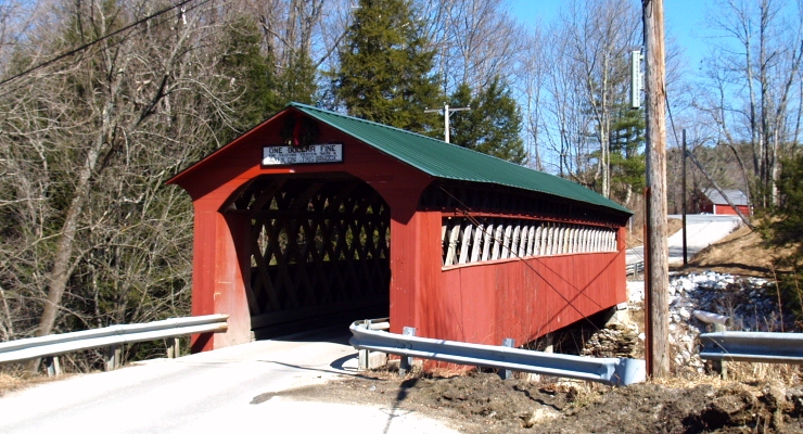
Chiselville Covered Bridge
A crossing over the Roaring Branch
Chiselville Covered Bridge spans the Roaring Branch of the Batten Kill in Sunderland. Include it in an Arlington-area outing if you want to explore beyond the three Walloomsac River bridges.
Location & approach
Research Sunderland Hill Road, approached from East Arlington Road. Follow current local directions and signs, and check for a permitted place to stop before taking photographs.
WEST ARLINGTON
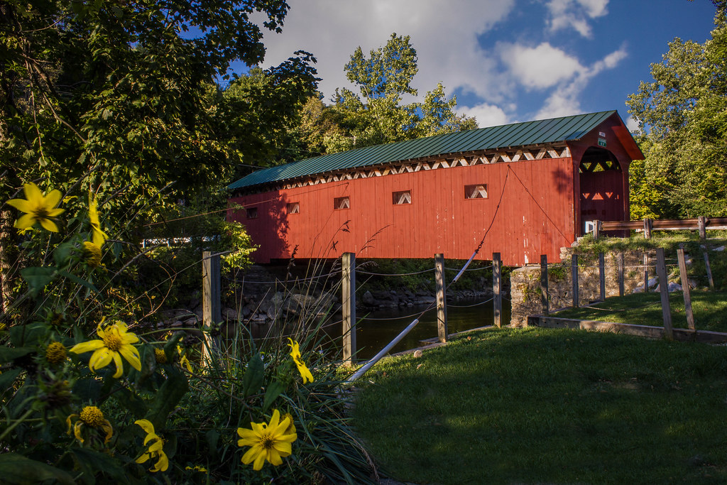
Arlington Green Covered Bridge
Also known as West Arlington Covered Bridge
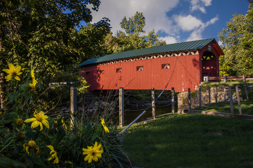
Arlington Green Covered Bridge carries Covered Bridge Road across the Batten Kill off VT Route 313. Also called West Arlington Covered Bridge, it is featured in Vermont’s state tourism guide as a scenic crossing near Arlington.
Location & approach
Look for Covered Bridge Road south of VT Route 313 in West Arlington. The original guide places the turn about 4.2 miles west of the VT Route 7A junction; confirm your route with current directions.
BUILD A DAY AROUND ONE AREA
Two ways to plan your bridge drive
Bennington & North Bennington
Start with Henry, Paper Mill Village and Silk Road. These three crossings share the Walloomsac River and make a practical group to research for an outing around Bennington.
Choose a route that suits your starting point, then add a meal or village stop. Check parking and bridge restrictions individually.
Arlington & Sunderland
Consider Chiselville in Sunderland and Arlington Green in West Arlington for another outing. They sit on different approaches, so check driving distances before combining them.
Allow time to enjoy the settings without rushing between stops. Use current navigation rather than relying on historic mileage notes.
VISIT WITH CARE
Enjoy the bridges and respect the road
Covered bridges are part of the places people live and travel. Keep entrances and private driveways clear, use permitted parking, and take photos from a safe location outside traffic lanes.
Follow posted height, weight, speed and access restrictions. Do not climb on timbers or enter closed areas. A route that works for one vehicle may not suit another, so confirm your plans before approaching.
Bennington County bridge questions
Which covered bridges are included in this guide?
The five featured bridges are Henry, Paper Mill Village, Silk Road, Chiselville and Arlington Green. This page preserves the original county guide’s selections rather than claiming to inventory every covered structure.
Which bridges are near Bennington?
Henry, Paper Mill Village and Silk Road cross the Walloomsac River in the Bennington and North Bennington area. Research their individual approaches and parking before planning your route.
Are Arlington Green and West Arlington the same bridge?
Yes. Arlington Green Covered Bridge is also known as West Arlington Covered Bridge. It crosses the Batten Kill on Covered Bridge Road off VT Route 313.
Is the Paper Mill bridge here the same as Pulp Mill in Middlebury?
No. This guide’s Paper Mill Village Covered Bridge is on Murphy Road in Bennington County. Pulp Mill Covered Bridge is between Middlebury and Weybridge in Addison County.
Can I drive through these bridges?
Check current local restrictions for each bridge and your vehicle. Road closures, clearance limits and posted rules determine whether you can cross; this guide does not guarantee access.
MORE VERMONT TO DISCOVER
Find another crossing along your route
Continue exploring with the statewide map, county directory and background guide to Vermont’s covered bridges.