
Vermont's Covered Bridges - Lamoille County
LAMOILLE COUNTY · VERMONT
Covered Bridges in Lamoille County, Vermont
Discover 13 covered-bridge landmarks, from Stowe and Cambridge to Waterville, Belvidere, Johnson and Wolcott.
RIVER VALLEYS. VILLAGE STOPS. HISTORIC VERMONT CROSSINGS.
Home / Covered Bridges / Lamoille County
CHOOSE YOUR NEXT CROSSING
Explore Lamoille County’s covered bridges
This guide features 13 bridge listings with photographs, alternate names and location notes. Choose one area to explore rather than trying to fit the whole county into a single rushed day.
Some sites carry roads; others involve farm access or a former railroad crossing. Check current directions, local restrictions and permission where needed before visiting. This selection is not a complete inventory or a live access report.
WATERVILLE
Church Street Covered Bridge
Also known as Village Covered Bridge
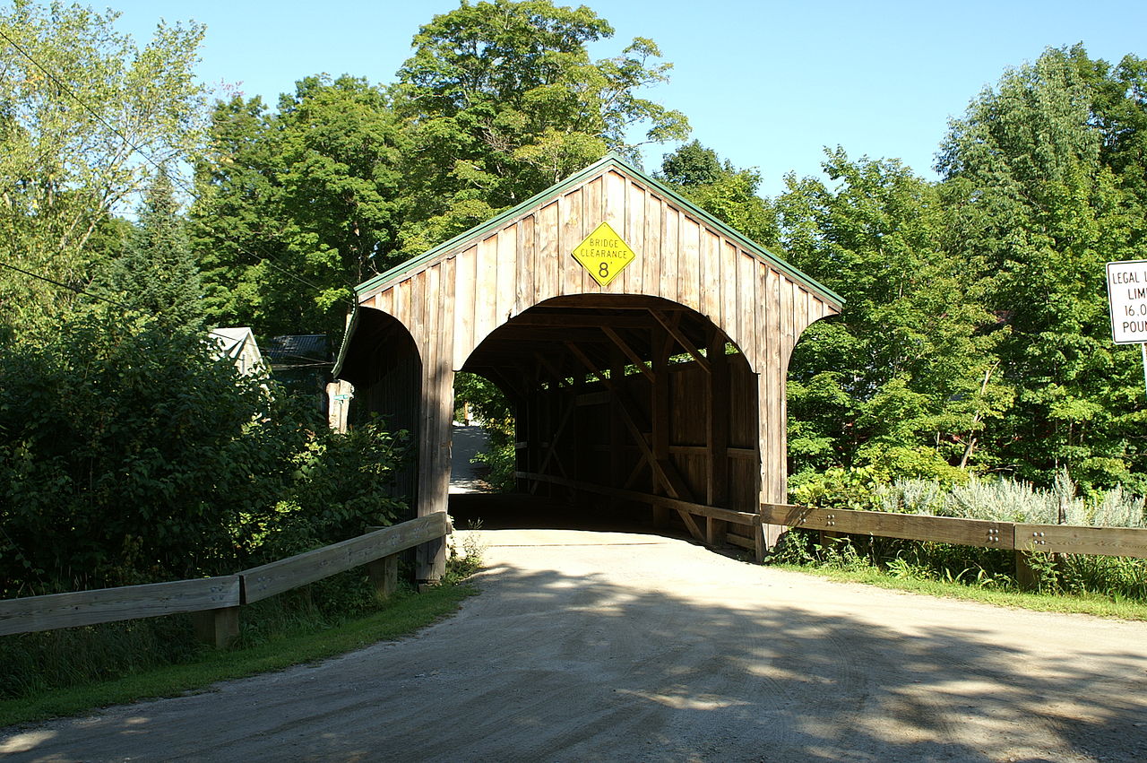
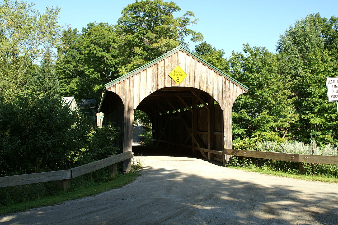
Church Street Covered Bridge crosses the North Branch of the Lamoille River in Waterville. It is one of the village-area crossings to consider when researching the VT Route 109 corridor.
Location & approach
Look for Church Street off VT Route 109 in Waterville. Confirm current directions and a permitted place to stop without blocking the crossing.
WOLCOTT
Fisher Covered Railroad Bridge
A reminder of the valley’s rail history
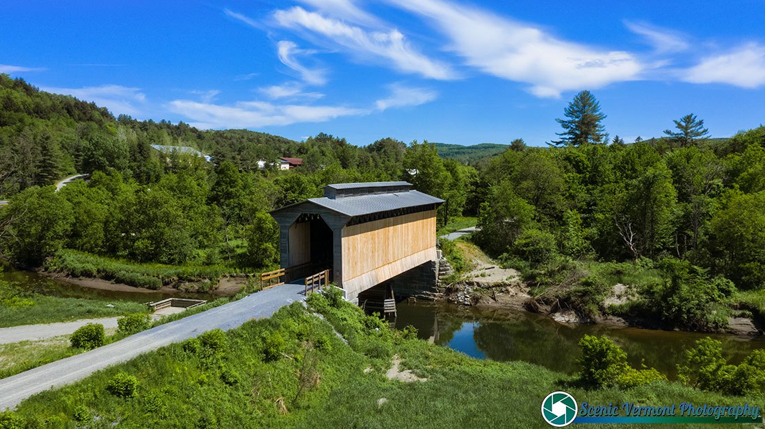
Built in 1908, Fisher Covered Railroad Bridge formerly carried the St. Johnsbury and Lamoille County Railroad over the Lamoille River. State historic-site records identify it as a preserved railroad bridge, rather than an ordinary road crossing.
Location & approach
Research the Fisher bridge site south of VT Route 15 between Wolcott and Hardwick. Confirm current visitor access and trail information; do not plan to drive through the historic span.
CAMBRIDGE
Gates Farm Covered Bridge
A farm-access crossing
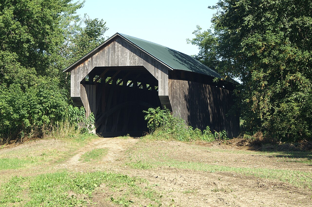
Gates Farm Covered Bridge stands off VT Route 15 in Cambridge, crossing the Seymour River. Its farm setting requires different visitor planning from a public-road bridge.
Location & approach
The original guide approaches by a farm-access road east of the VT Route 104 junction. Confirm permission with the property owner before entering farm roads or fields; a map listing does not grant access.
STOWE
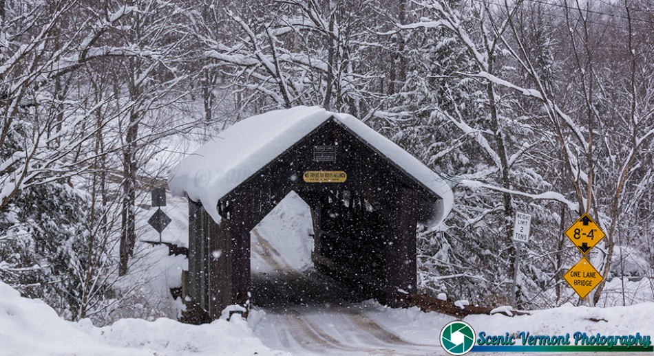
Gold Brook Covered Bridge
Also known as Emily’s Bridge or Stowe Hollow Bridge
Gold Brook Covered Bridge carries Covered Bridge Road over Gold Brook in Stowe. Its Emily’s Bridge name is associated with local folklore, adding another layer to the history visitors encounter here.
Location & approach
Research Gold Brook Road and Covered Bridge Road in Stowe Hollow, approached from VT Route 100. Follow current signs, respect neighbors and photograph only from permitted places.
CAMBRIDGE / JEFFERSONVILLE
Grist Mill Covered Bridge
Also known as Scott, Bryant or Canyon Covered Bridge
Grist Mill Covered Bridge carries Canyon Road across the Brewster River south of Jeffersonville. Its several alternate names can be useful when researching this Cambridge-area crossing.
Location & approach
Look for Canyon Road off VT Route 108 south of its junction with VT Route 15. Check the current approach and vehicle restrictions before visiting.
WATERVILLE
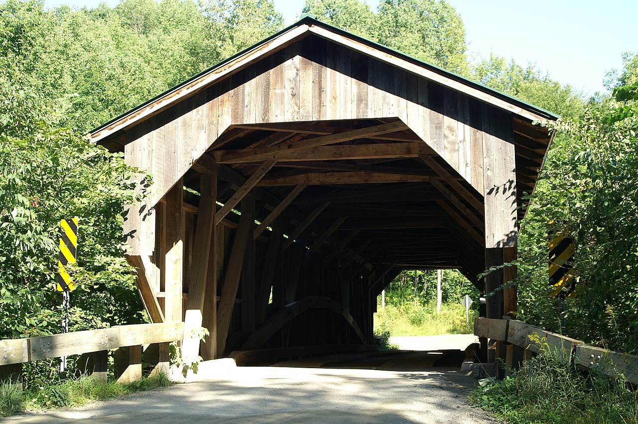
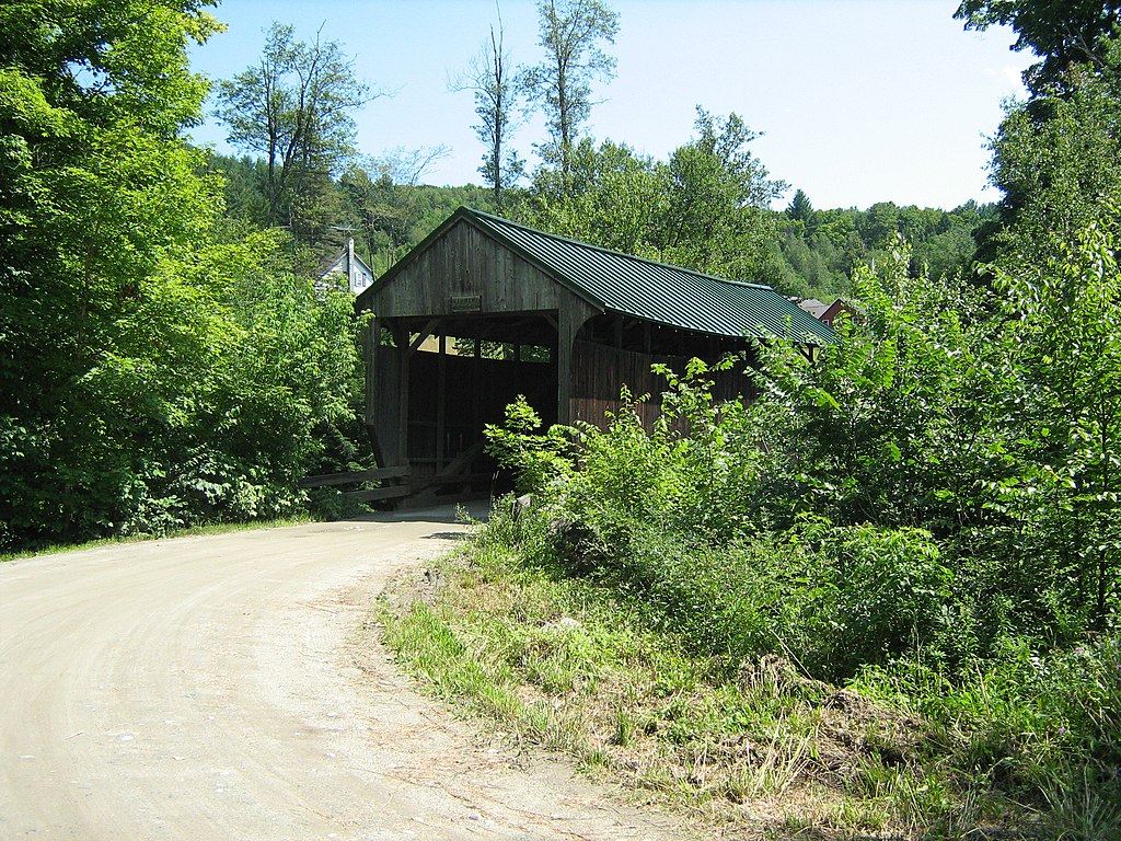
Jaynes Covered Bridge
A Codding Hollow Road crossing
Jaynes Covered Bridge carries Codding Hollow Road across the North Branch of the Lamoille River. Research it alongside Waterville’s Church Street and Montgomery bridges when planning this part of the valley.
Location & approach
Look for Codding Hollow Road off VT Route 109 in Waterville. Confirm the destination by bridge name and keep private driveways and the roadway clear.
BELVIDERE
Mill Covered Bridge
A crossing on Back Road
Mill Covered Bridge crosses the North Branch of the Lamoille River on Back Road in Belvidere. It is a separate bridge from Grist Mill in Cambridge, despite their similar names.
Location & approach
Research Back Road off VT Route 109 west of Belvidere Center. Use Belvidere with the bridge name when checking directions.
WATERVILLE
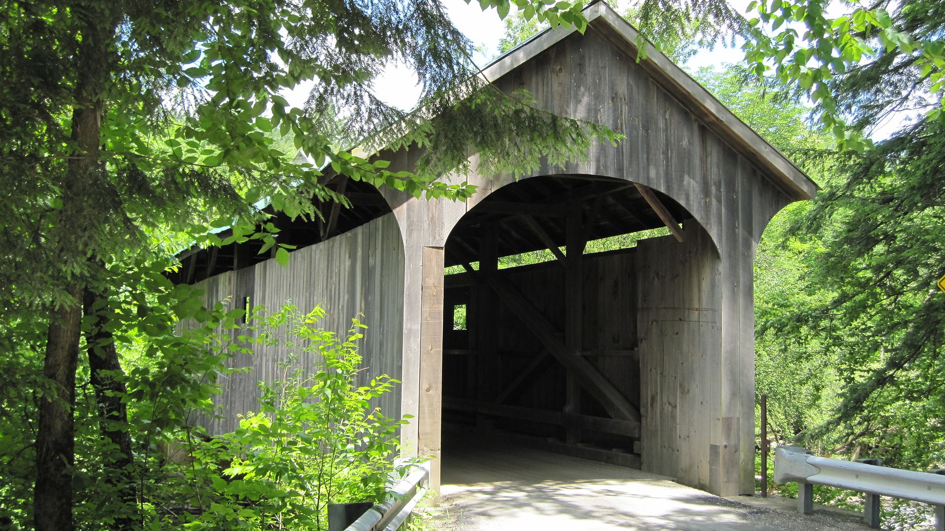
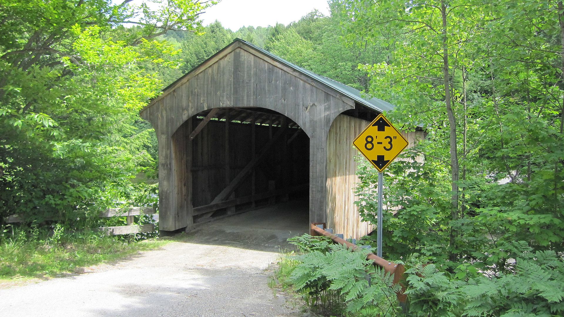
Montgomery Covered Bridge
Also known as Lower Covered Bridge
Montgomery Covered Bridge crosses the North Branch of the Lamoille River in Waterville. The name refers to this bridge, not the Franklin County town of Montgomery.
Location & approach
Research Montgomery Bridge Road off VT Route 109 in Waterville. Use the town name to avoid navigating to a different group of covered bridges.
BELVIDERE
Morgan Covered Bridge
Also known as Upper Covered Bridge
Morgan Covered Bridge spans the North Branch of the Lamoille River on Morgan Bridge Road in Belvidere. Consider it with Mill Covered Bridge when researching a Belvidere-area outing.
Location & approach
Look for Morgan Bridge Road off VT Route 109 west of Belvidere Center. Check current road conditions and signs before approaching.
CAMBRIDGE JUNCTION
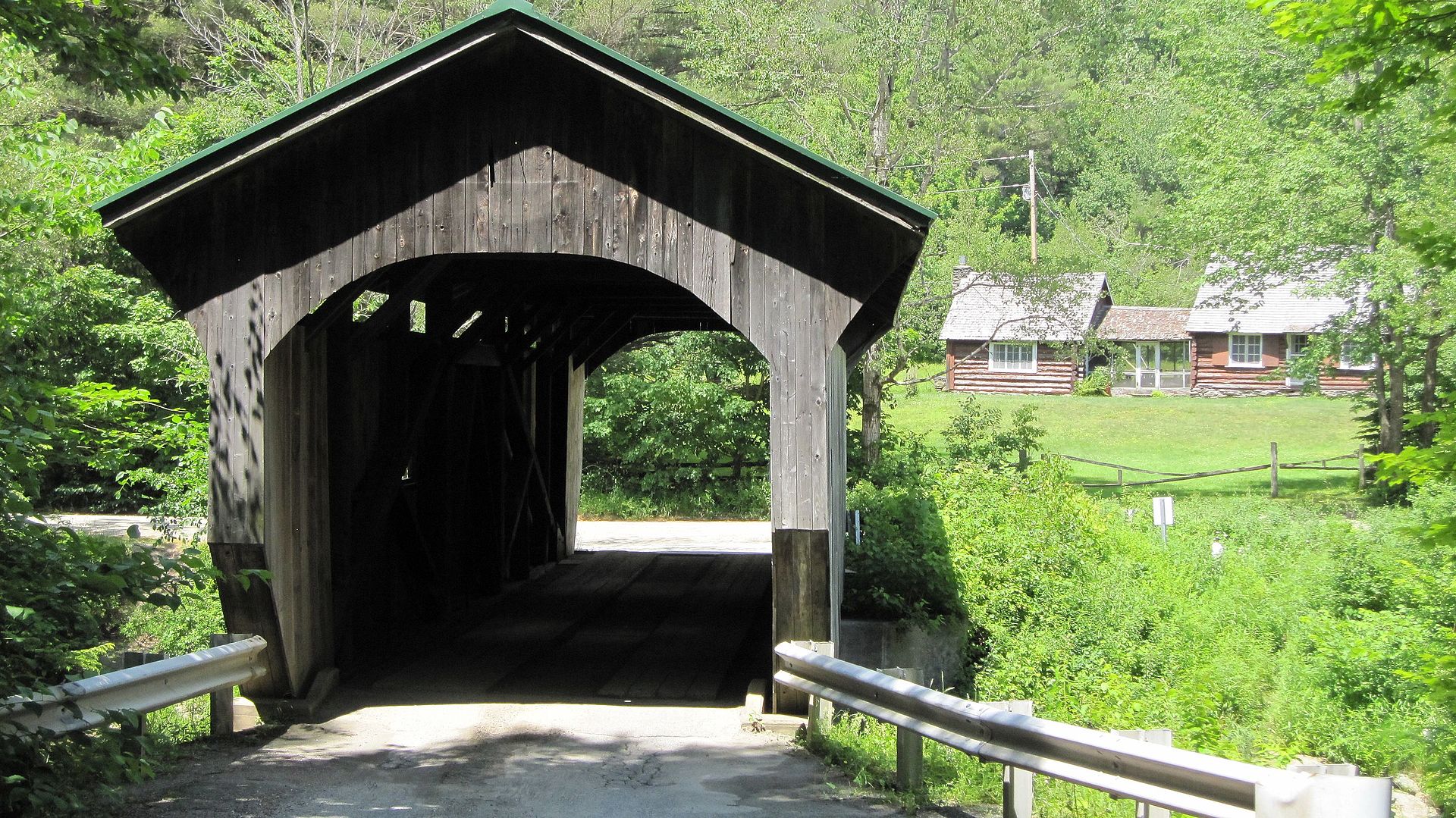
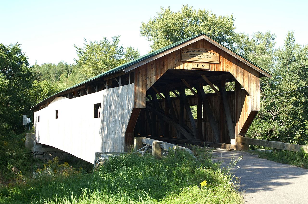
Poland Covered Bridge
Also known as Cambridge Junction or Junction Covered Bridge
Poland Covered Bridge carries Cambridge Junction Road across the Lamoille River. Its alternate names help distinguish it from the county’s other Cambridge-area crossings.
Location & approach
Research Cambridge Junction Road off VT Route 15 east of the VT Route 108 junction. Use the bridge name to confirm the final approach.
JOHNSON
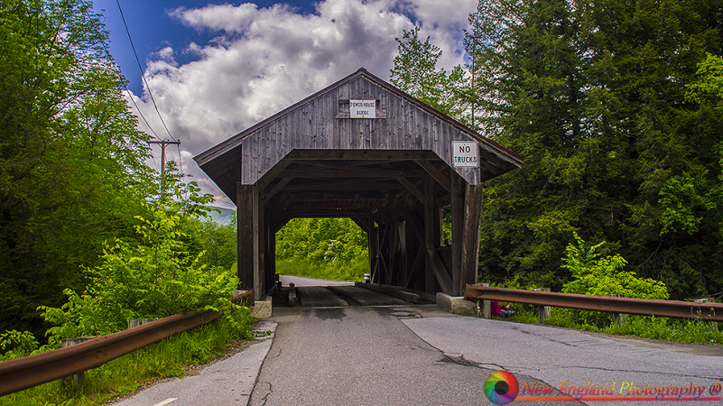
Power House Covered Bridge
Also known as School Street Covered Bridge
Power House Covered Bridge crosses the Gihon River on School Street in Johnson. Its name recalls a former generating station upstream from the bridge.
Location & approach
Research School Street off VT Route 100C near Johnson. Check current town information and posted restrictions before planning a crossing.
MORRISTOWN
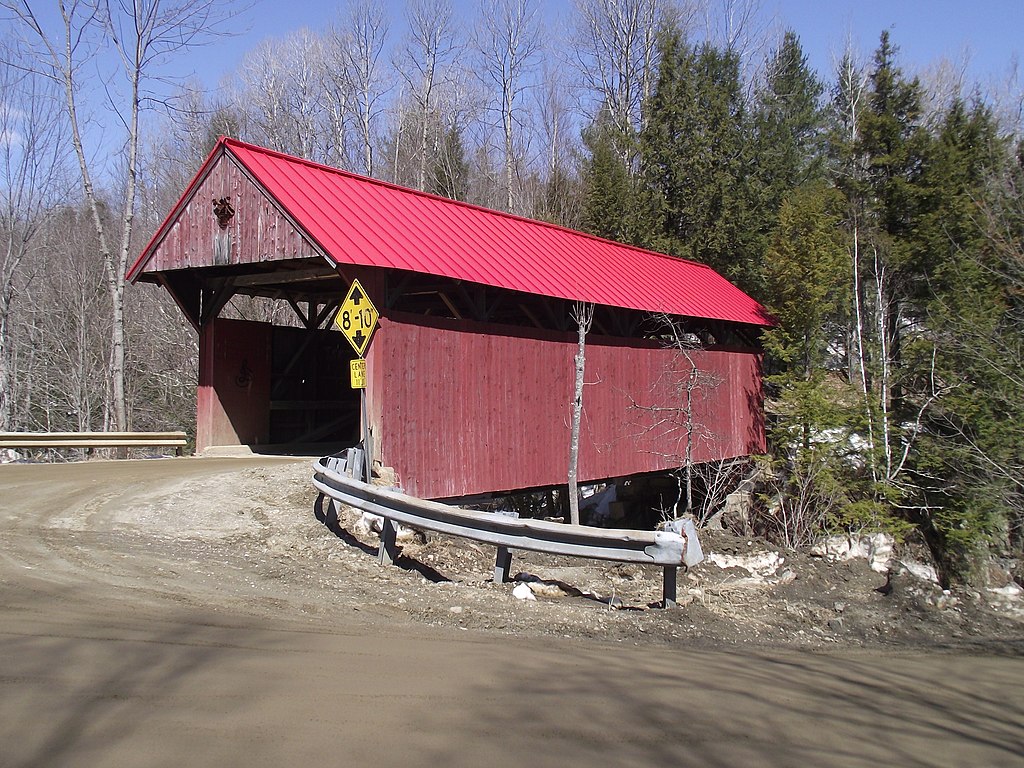
Red Covered Bridge
A Cole Hill Road crossing
Red Covered Bridge carries Cole Hill Road across Sterling Brook in Morristown. It offers a separate stop from Gold Brook in Stowe for visitors exploring this part of Lamoille County.
Location & approach
Research Cole Hill Road at Sterling Valley Road, with approaches via Stagecoach Road from VT Route 100. Confirm current navigation rather than relying on old mileage directions.
JOHNSON
Scribner Covered Bridge
Also known as Mudgett Covered Bridge
Scribner Covered Bridge carries Rocky Road across the Gihon River in Johnson. It is a different Gihon River crossing from the Power House bridge on School Street.
Location & approach
Look for Rocky Road off VT Route 100C northeast of central Johnson. Check the route, current signs and a permitted place to stop.
PLAN BY AREA
Build a route at your own pace
Waterville & Belvidere
Research Church Street, Jaynes and Montgomery in Waterville, then Mill and Morgan in Belvidere along the Route 109 corridor.
Cambridge & Jeffersonville
Compare Grist Mill and Poland for a Cambridge-area outing. Treat Gates Farm separately: confirm permission before entering its farm-access route.
Stowe & Morristown
Consider Gold Brook in Stowe and Red Covered Bridge in Morristown. Check the distance and approaches before combining them.
Johnson & Wolcott
Research Power House and Scribner in Johnson, then decide whether to add the Fisher railroad bridge site in Wolcott.
Visit with care
Keep bridge entrances, private driveways and traffic lanes clear. Use permitted parking and take photographs from safe places. Do not climb on timbers or enter closed areas.
Follow current closure, clearance and weight signs. Check dates on road notices, confirm access close to your visit, and use a flexible itinerary if weather or repair work changes your route.
Lamoille County covered-bridge questions
How many bridges are featured in this guide?
This page features 13 listings from the county guide, with their original photographs. It does not claim to inventory every covered structure in Lamoille County.
Is Emily’s Bridge the same as Gold Brook Covered Bridge?
Yes. Gold Brook in Stowe is also known as Emily’s Bridge and Stowe Hollow Bridge. Its haunting story is local folklore.
Is Montgomery Covered Bridge in the town of Montgomery?
No. The Montgomery Covered Bridge featured here is in Waterville. Include Waterville in your search or navigation to avoid confusing it with the Franklin County town.
Are Mill and Grist Mill the same bridge?
No. Mill Covered Bridge is on Back Road in Belvidere. Grist Mill Covered Bridge is on Canyon Road in Cambridge, south of Jeffersonville.
Can I drive through all of these bridges?
Do not assume that you can. The guide includes road bridges, a farm-access bridge and a former railroad bridge. Confirm permission, current restrictions and vehicle suitability for each stop.
Where should I start planning?
Choose an area close to your base, then use the statewide map to compare locations. Check town and site information for current access before building your route.
MORE VERMONT TO DISCOVER
Find another bridge along the way
Continue with the statewide map and background guide to Vermont’s covered bridges.